Medium airport · United States
Imperial County AirportKIPL
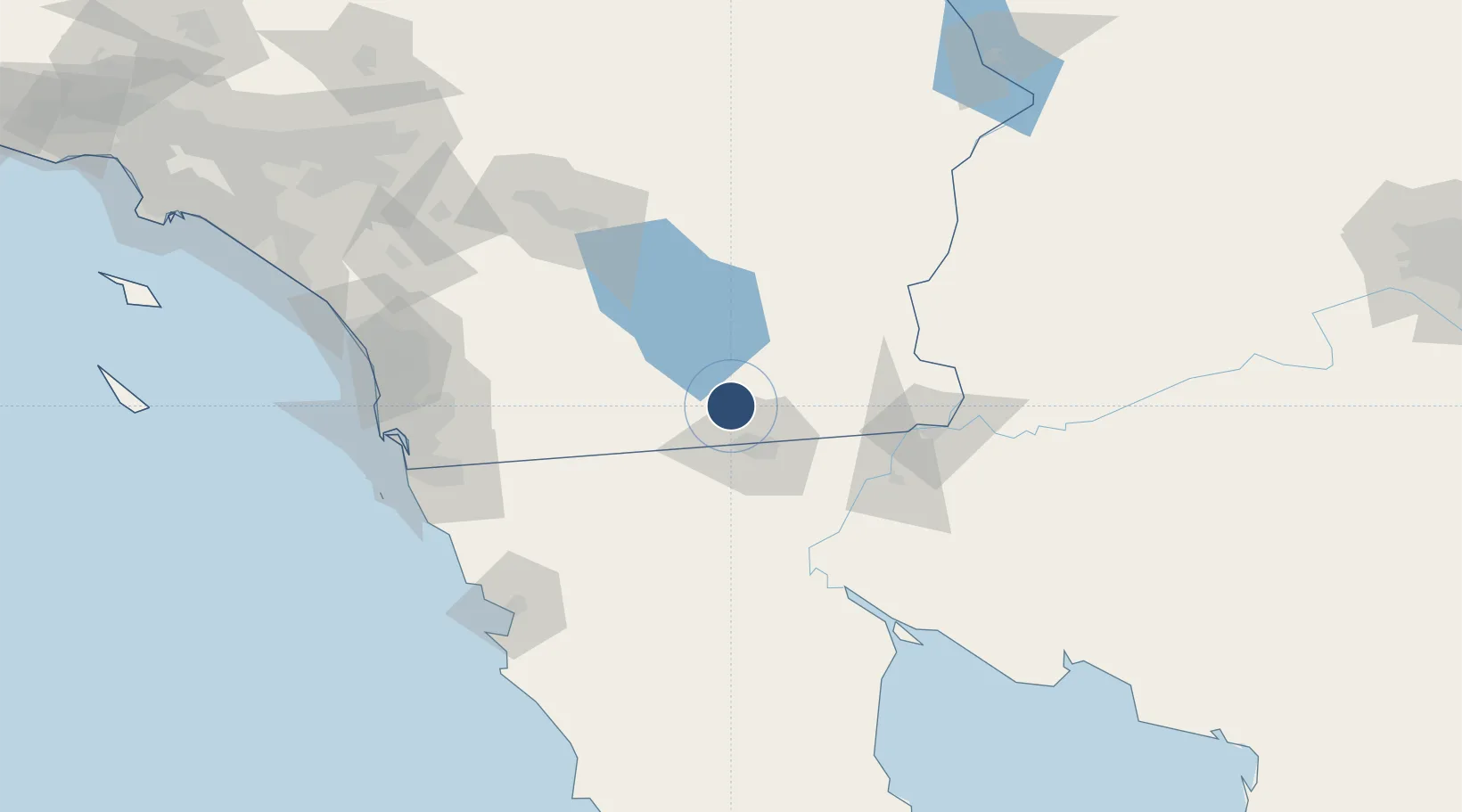
32.8354°, -115.5740°
5,308 ft
Longest runway
2
Runways
-54 ft
Elevation
Runway & Layout

Radio Frequencies
ASOS
132.175 MHz
CNTR
128.6 MHz
LOS ANGELES CNTR
RDO
122.5 MHz
SAN DIEGO RDO
UNIC
122.7 MHz
CTAF/UNICOM
Runways · 2
| Runway | Dimensions | Surface | True heading | Lit |
|---|---|---|---|---|
| 14/32 | 5,308 × 100ft | Asphalt | 153° | ✓ |
| 08/26 | 4,501 × 75ft | Asphalt | 090° | ✓ |
Airport Specifications
IATA code
IPL
ICAO code
KIPL
Airport class
Medium airport
Scheduled service
Yes
Runway surface
Asphalt
Served city
Imperial
Location
Nearby Logistics Neighbours
Airports
Cities
- 1Heber14 km
- 2Calexico17 km
- 3Mexicali28 km
- 4Winterhaven89 km
- 5Midland113 km
Ports
- 1Ensenada147 km
- 2San Diego151 km
- 3Rosarito152 km
- 4Newport Beach233 km
- 5Avalon262 km
Trade Zones
- 1FTZ No. 257 Imperial County8 km
- 2FTZ No. 219 Yuma91 km
- 3FTZ No. 236 Palm Springs140 km
- 4FTZ No. 153 San Diego142 km
- 5FTZ No. 244 Riverside County199 km
DatabookThe Record of Consolidated Knowledge
United States beyond logistics?