Foreign Trade Zone · United States
FTZ No. 257 Imperial County Active
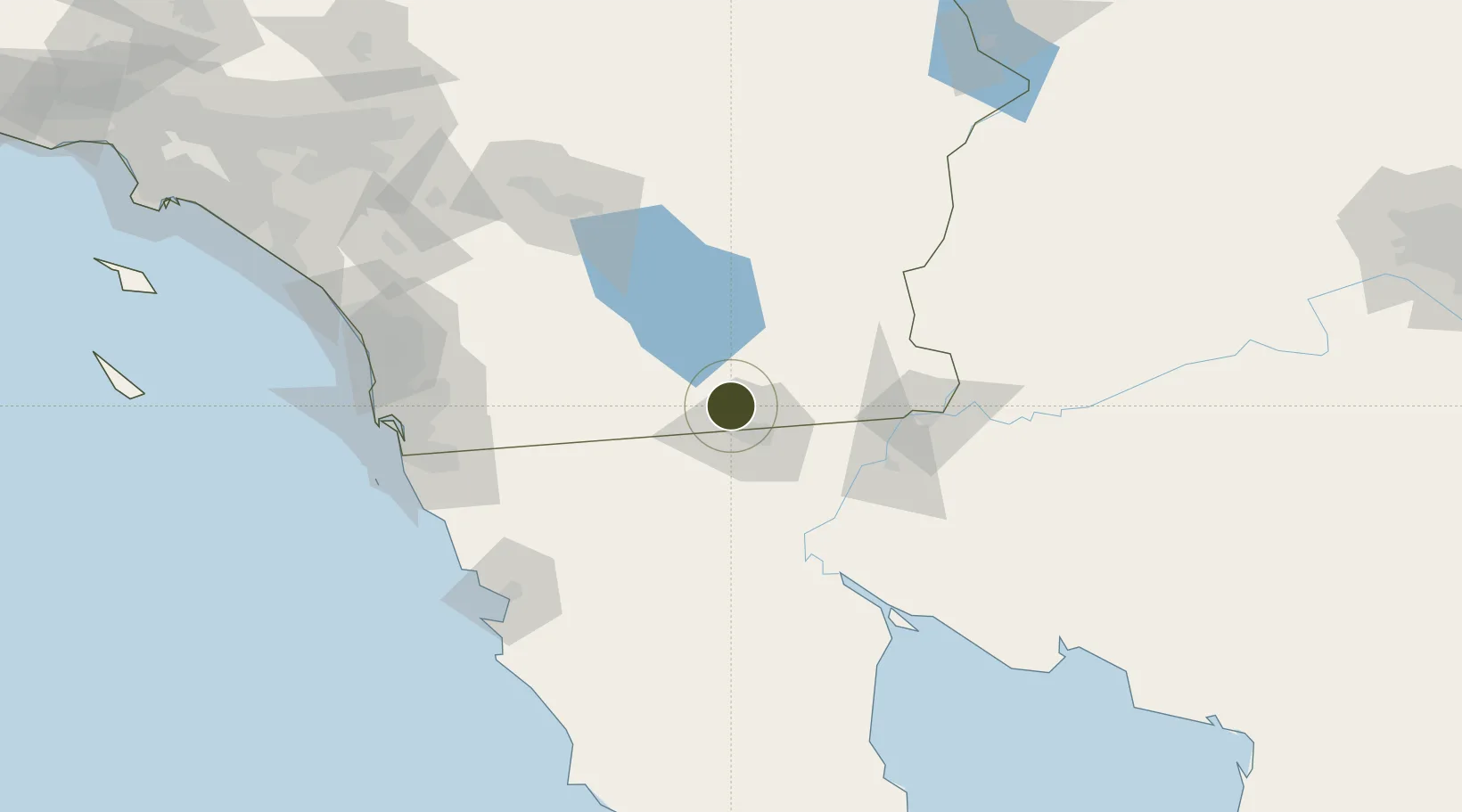
32.7690°, -115.5518°
142.8 km
Nearest port
7.7 km
Nearest airport
Gateway access
Zone profile
Zone type
Foreign Trade Zone
Region
California
Status
Active
Management
Public
Operator
Imperial County Economic Develop Board
Legal framework
Foreign-Trade Zones Act
Location
Nearby Logistics Neighbours
Ports
- 1Ensenada143 km
- 2Rosarito152 km
- 3San Diego153 km
- 4Newport Beach238 km
- 5Avalon266 km
Airports
Cities
- 1Heber7 km
- 2Calexico9 km
- 3Mexicali21 km
- 4Winterhaven86 km
- 5Midland107 km
Trade Zones
- 1FTZ No. 219 Yuma88 km
- 2FTZ No. 153 San Diego143 km
- 3FTZ No. 236 Palm Springs147 km
- 4FTZ No. 244 Riverside County205 km
- 5FTZ No. 243 Victorville263 km
DatabookThe Record of Consolidated Knowledge
United States beyond logistics?