Foreign Trade Zone · United States
FTZ No. 153 San Diego Active
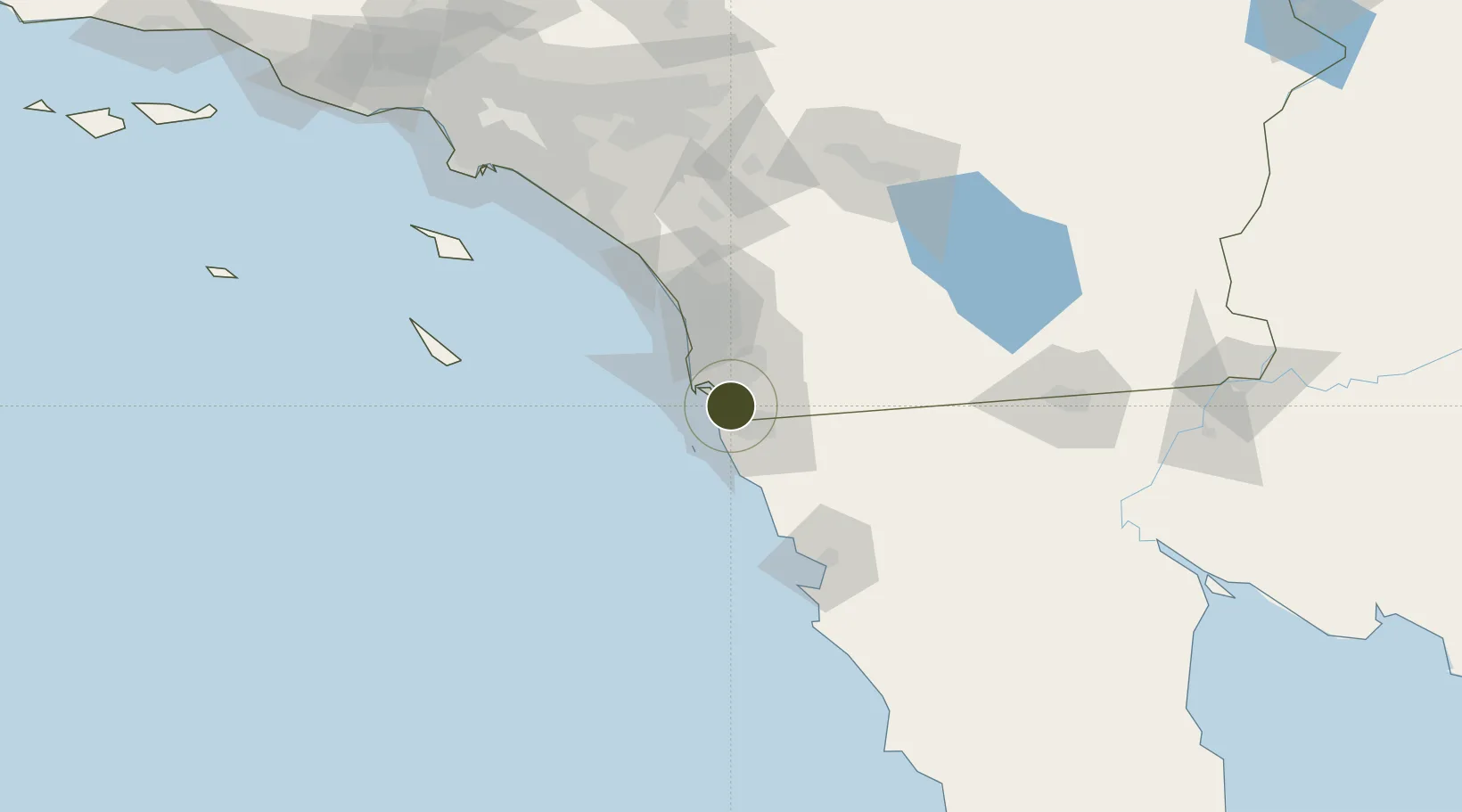
32.6100°, -117.0684°
16.0 km
Nearest port
9.3 km
Nearest airport
Gateway access
Zone profile
Zone type
Foreign Trade Zone
Region
California
Status
Active
Management
Public
Operator
City of San Diego
Legal framework
Foreign-Trade Zones Act
Location
Nearby Logistics Neighbours
Ports
- 1San Diego16 km
- 2Rosarito27 km
- 3Ensenada92 km
- 4Newport Beach136 km
- 5Avalon143 km
Airports
Cities
- 1Bonita7 km
- 2San Diego10 km
- 3Coronado12 km
- 4Lemon Grove14 km
- 5Spring Valley, San Diego16 km
Trade Zones
- 1FTZ No. 257 Imperial County143 km
- 2FTZ No. 236 Palm Springs145 km
- 3FTZ No. 244 Riverside County146 km
- 4FTZ No. 050 Long Beach166 km
- 5FTZ No. 202 Los Angeles169 km
DatabookThe Record of Consolidated Knowledge
United States beyond logistics?