Medium airport · United States
Yuma International Airport / Marine Corps Air Station YumaKNYL
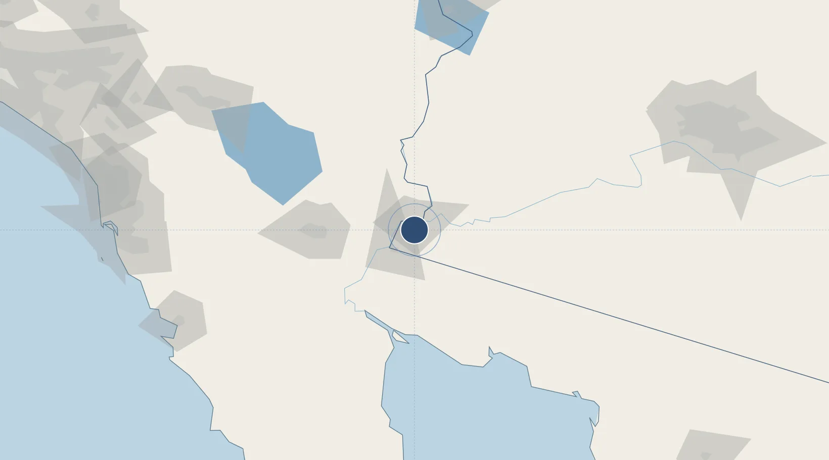
32.6509°, -114.6094°
13,300 ft
Longest runway
4
Runways
213 ft
Elevation
Runway & Layout

Radio Frequencies
ATIS
118.8 MHz
TWR
119.3 MHz
GND
121.9 MHz
CLD
118 MHz
CLNC DEL
APP
124.7 MHz
DEP
125.55 MHz
MISC
124.7 MHz
VFR ADVSY SVC
PMSV
120.7 MHz
PMSV METRO
POST
33.79 MHz
COMD POST
RDO
122.6 MHz
SAN DIEGO RDO
RFSS
122.2 MHz
PRESCOTT RDO
UNIC
119.3 MHz
CTAF/UNICOM
Runways · 4
| Runway | Dimensions | Surface | True heading | Lit |
|---|---|---|---|---|
| 03L/21R | 13,300 × 200ft | Concrete | 044° | ✓ |
| 03R/21L | 9,240 × 150ft | Asphalt / concrete | 044° | ✓ |
| 08/26 | 6,146 × 150ft | Asphalt / concrete | 089° | ✓ |
| 17/35 | 5,710 × 150ft | Asphalt / concrete | 179° | ✓ |
Airport Specifications
IATA code
YUM
ICAO code
KNYL
Airport class
Medium airport
Scheduled service
Yes
Runway surface
Concrete
Served city
Yuma
Location
Nearby Logistics Neighbours
Airports
Cities
- 1Winterhaven9 km
- 2Wellton45 km
- 3Mexicali77 km
- 4Calexico84 km
- 5Heber85 km
Ports
- 1Ensenada209 km
- 2Rosarito236 km
- 3San Diego241 km
- 4Newport Beach325 km
- 5Avalon354 km
Trade Zones
- 1FTZ No. 219 Yuma6 km
- 2FTZ No. 257 Imperial County89 km
- 3FTZ No. 236 Palm Springs220 km
- 4FTZ No. 153 San Diego230 km
- 5FTZ No. 277 Western Maricopa County240 km
DatabookThe Record of Consolidated Knowledge
United States beyond logistics?