UN/LOCODE hub · United States
USZD3

Heber

32.7167°, -115.5167°
4,275
Population
1
Transport functions

Transport Functions

Multimodal
UN/LOCODE

Hub Profile

Place type
Populated place
GeoNames
Region
California
GeoNames
Population
4,275
GeoNames
Time zone
America/Los_Angeles
GeoNames
Elevation
-3 m
GeoNames

Location

Location of USZD3
Natural Earth 10m (public domain) · California · USZD3 · 32.72, -115.52GoogleOSMYandex

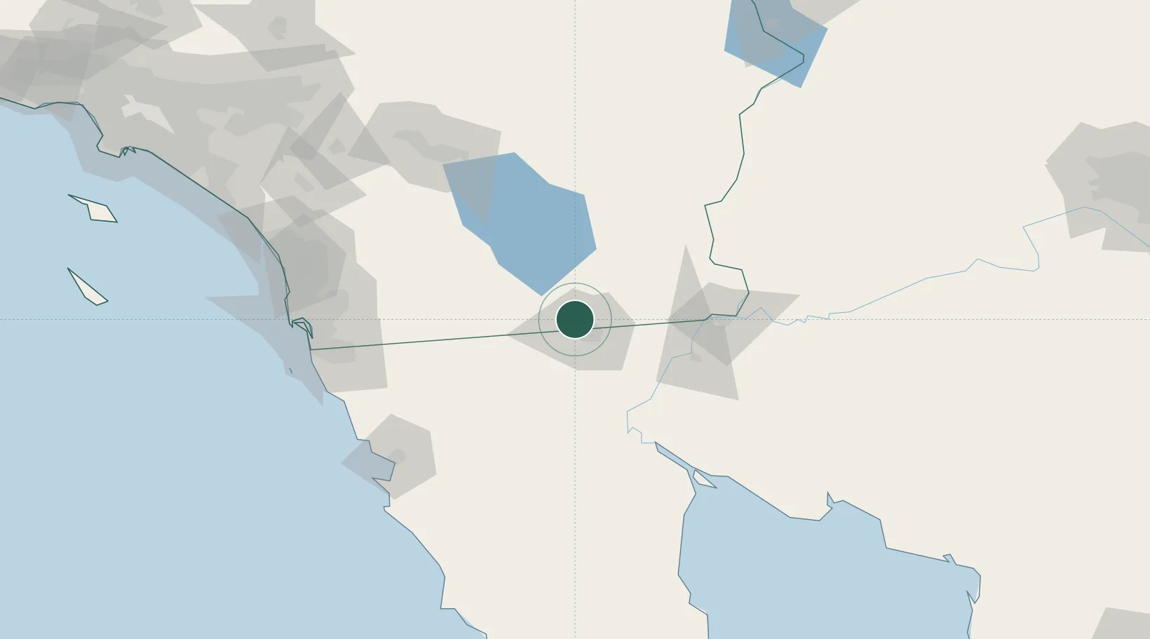
Nearby Logistics Neighbours

Cities
  1. 1Calexico3 km
  2. 2Mexicali14 km
  3. 3Winterhaven83 km
  4. 4Midland103 km
  5. 5Dulzura117 km
Nearest neighbours — logibook spatial index (haversine) over the source coordinates
Ports
  1. 1Ensenada141 km
  2. 2Rosarito153 km
  3. 3San Diego156 km
  4. 4Newport Beach243 km
  5. 5Avalon270 km
Nearest neighbours — logibook spatial index (haversine) over the source coordinates
Trade Zones
  1. 1FTZ No. 257 Imperial County7 km
  2. 2FTZ No. 219 Yuma85 km
  3. 3FTZ No. 153 San Diego146 km
  4. 4FTZ No. 236 Palm Springs154 km
  5. 5FTZ No. 244 Riverside County212 km
Nearest neighbours — logibook spatial index (haversine) over the source coordinates
DatabookThe Record of Consolidated Knowledge
United States beyond logistics?
Browse databook

All Sources

LocationsUN/LOCODE
UN/LOCODE — free
LocationsGeoNames
CC BY 4.0
Portsthe NGA World Port Index
Public domain (US gov)
AirportsOurAirports
Public domain
Trade Zonesthe World Bank SEZ database
CC BY 4.0
Trade ZonesOpen Zone Map
CC BY
← United States locations