Medium airport · Mexico

General Rodolfo Sánchez Taboada International AirportMMML

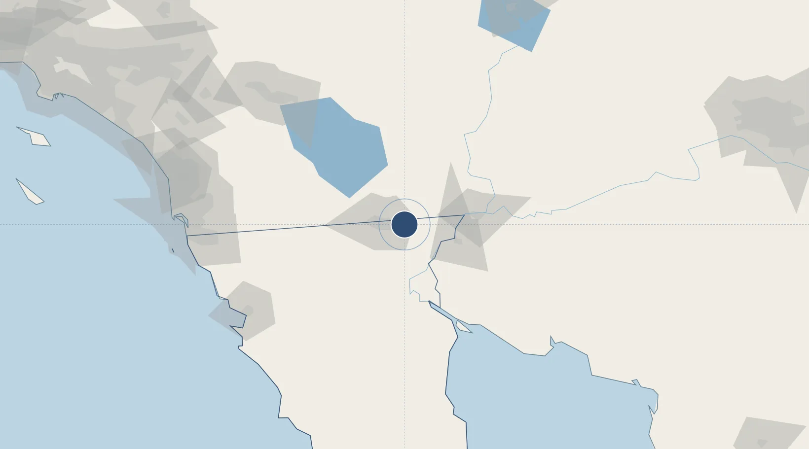
32.6306°, -115.2428°
8,530 ft
Longest runway
1
Runways
74 ft
Elevation

Runway & Layout

General Rodolfo Sánchez Taboada International Airport runway & taxiway layout
Runway & taxiway layout — OpenStreetMap (ODbL) / OurAirports

Radio Frequencies

ATIS
127.6 MHz
TWR
118.2 MHz
MEXICALI TWR
AFIS
123.9 MHz
MEXICALI INFO
OurAirports

Navaids

MXL VOR-DME Mexicali 115.00 MHz
OurAirports

Runways · 1

RunwayDimensions SurfaceTrue headingLit
10/28 8,530 × 148ft Concrete 118°
OurAirports

Airport Specifications

IATA code
MXL
OurAirports
ICAO code
MMML
OurAirports
Airport class
Medium airport
OurAirports
Scheduled service
Yes
OurAirports
Runway surface
Concrete
OurAirports
Served city
Mexicali
OurAirports

Location

Location of MMML
Natural Earth 10m (public domain) · Baja California · MMML · 32.63, -115.24GoogleOSMYandex

Nearby Logistics Neighbours

Airports
  1. 1Imperial County Airport38 km
  2. 2El Centro NAF Airport (Vraciu Field)46 km
  3. 3Yuma International Airport / Marine Corps Air Station Yuma59 km
  4. 4Blythe Airport120 km
  5. 5Jacqueline Cochran Regional Airport140 km
Nearest neighbours — logibook spatial index (haversine) over the source coordinates
Cities
  1. 1Mexicali18 km
  2. 2Calexico25 km
  3. 3Heber27 km
  4. 4Winterhaven58 km
  5. 5Wellton104 km
Nearest neighbours — logibook spatial index (haversine) over the source coordinates
Ports
  1. 1Ensenada156 km
  2. 2Rosarito177 km
  3. 3San Diego182 km
  4. 4Newport Beach271 km
  5. 5Avalon298 km
Nearest neighbours — logibook spatial index (haversine) over the source coordinates
Trade Zones
  1. 1FTZ No. 257 Imperial County33 km
  2. 2FTZ No. 219 Yuma60 km
  3. 3FTZ No. 153 San Diego171 km
  4. 4FTZ No. 236 Palm Springs178 km
  5. 5FTZ No. 244 Riverside County238 km
Nearest neighbours — logibook spatial index (haversine) over the source coordinates
DatabookThe Record of Consolidated Knowledge
Mexico beyond logistics?
Browse databook

All Sources

AirportsOurAirports
Public domain
Portsthe NGA World Port Index
Public domain (US gov)
LocationsUN/LOCODE
UN/LOCODE — free
Trade Zonesthe World Bank SEZ database
CC BY 4.0
Trade ZonesOpen Zone Map
CC BY
InfrastructureOpenStreetMap
ODbL 1.0
← Mexico airports