Foreign Trade Zone · United States

FTZ No. 277 Western Maricopa County Active

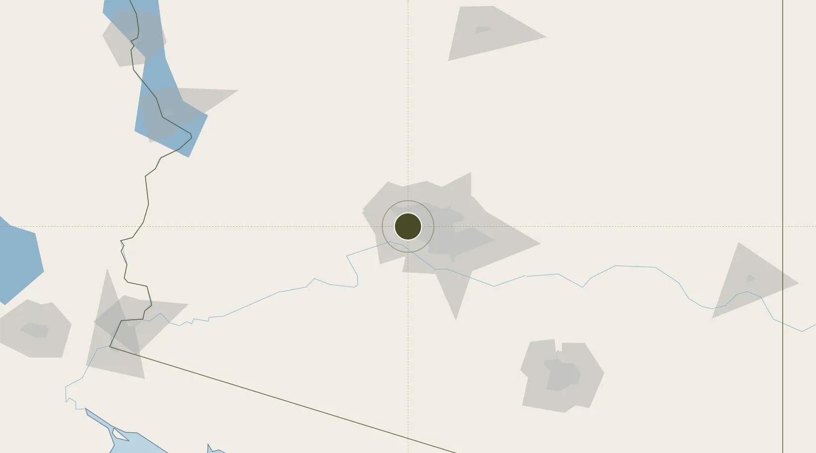
33.5328°, -112.2618°
449.0 km
Nearest port
11.2 km
Nearest airport

Gateway access

Nearest neighbours — logibook spatial index (haversine) over the source coordinates

Zone profile

Zone type
Foreign Trade Zone
Open Zone Map
Region
Arizona
Open Zone Map
Status
Active
Open Zone Map
Management
Public-Private Partnership
Open Zone Map
Operator
Greater Maricopa Foreign Trade Zone, Inc.
Open Zone Map
Legal framework
Foreign-Trade Zones Act
Open Zone Map

Location

Location of ozm-4957
Natural Earth 10m (public domain) · Arizona · ozm-4957 · 33.53, -112.26GoogleOSMYandex

Nearby Logistics Neighbours

Ports
  1. 1Ensenada449 km
  2. 2San Diego467 km
  3. 3Rosarito470 km
  4. 4Newport Beach522 km
  5. 5Long Beach549 km
Nearest neighbours — logibook spatial index (haversine) over the source coordinates
Airports
  1. 1Luke Air Force Base11 km
  2. 2Phoenix Sky Harbor International Airport26 km
  3. 3Mesa Gateway Airport62 km
  4. 4Prescott Regional Airport - Ernest A. Love Field126 km
  5. 5Flagstaff Pulliam Airport187 km
Nearest neighbours — logibook spatial index (haversine) over the source coordinates
Cities
  1. 1Litchfield Park10 km
  2. 2El Mirage11 km
  3. 3Paradise Valley29 km
  4. 4Scottsdale35 km
  5. 5New River44 km
Nearest neighbours — logibook spatial index (haversine) over the source coordinates
Trade Zones
  1. 1FTZ No. 075 Phoenix20 km
  2. 2FTZ No. 221 Mesa42 km
  3. 3FTZ No. 174 Pima County185 km
  4. 4FTZ No. 219 Yuma237 km
  5. 5FTZ No. 060 Nogales273 km
Nearest neighbours — logibook spatial index (haversine) over the source coordinates
DatabookThe Record of Consolidated Knowledge
United States beyond logistics?
Browse databook

All Sources

Trade ZonesOpen Zone Map
CC BY
Portsthe NGA World Port Index
Public domain (US gov)
AirportsOurAirports
Public domain
LocationsUN/LOCODE
UN/LOCODE — free
← United States trade zones