UN/LOCODE hub · United States
USCXL
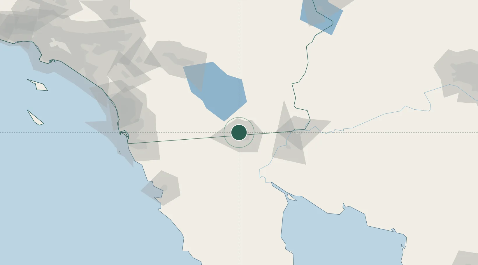
Calexico
32.6967°, -115.5017°
40,053
Population
4
Transport functions
Transport Functions
Rail
Road
Airport
Border Crossing
Hub Profile
Place type
Populated place
Region
California
Population
40,053
Time zone
America/Los_Angeles
Elevation
1 m
Logistics facilities
5
Location
Nearby Logistics Neighbours
Cities
- 1Heber3 km
- 2Mexicali12 km
- 3Winterhaven81 km
- 4Midland101 km
- 5Dulzura119 km
Ports
- 1Ensenada141 km
- 2Rosarito154 km
- 3San Diego157 km
- 4Newport Beach246 km
- 5Avalon272 km
Airports
Trade Zones
- 1FTZ No. 257 Imperial County9 km
- 2FTZ No. 219 Yuma83 km
- 3FTZ No. 153 San Diego147 km
- 4FTZ No. 236 Palm Springs157 km
- 5FTZ No. 244 Riverside County214 km
DatabookThe Record of Consolidated Knowledge
United States beyond logistics?