UN/LOCODE hub · United States
USTVA
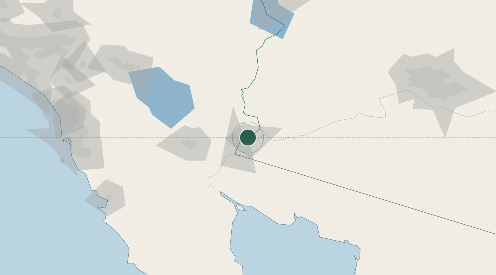
Winterhaven
32.7333°, -114.6333°
394
Population
2
Transport functions
Transport Functions
Rail
Road
Hub Profile
Place type
Populated place
Region
California
Population
394
Time zone
America/Phoenix
Elevation
40 m
Location
Nearby Logistics Neighbours
Cities
- 1Wellton47 km
- 2Mexicali76 km
- 3Calexico81 km
- 4Heber83 km
- 5Quartzsite111 km
Ports
- 1Ensenada211 km
- 2Rosarito235 km
- 3San Diego239 km
- 4Newport Beach320 km
- 5Long Beach350 km
Airports
Trade Zones
- 1FTZ No. 219 Yuma4 km
- 2FTZ No. 257 Imperial County86 km
- 3FTZ No. 236 Palm Springs213 km
- 4FTZ No. 153 San Diego228 km
- 5FTZ No. 277 Western Maricopa County238 km
DatabookThe Record of Consolidated Knowledge
United States beyond logistics?