Transport Functions
Rail
Road
Airport
Hub Profile
Place type
Regional capital
Region
Baja California
Population
1,032,686
Time zone
America/Tijuana
Elevation
4 m
Logistics facilities
2
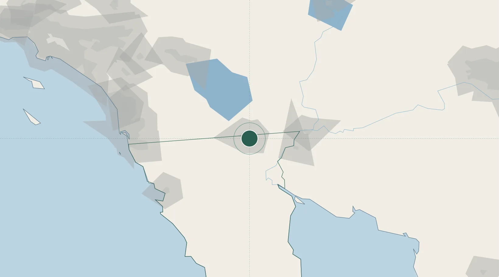
Location
Nearby Logistics Neighbours
Cities
- 1Calexico12 km
- 2Heber14 km
- 3Winterhaven76 km
- 4Midland96 km
- 5Wellton121 km
Ports
- 1Ensenada140 km
- 2Rosarito159 km
- 3San Diego165 km
- 4Newport Beach256 km
- 5Avalon282 km
Airports
Trade Zones
- 1FTZ No. 257 Imperial County21 km
- 2FTZ No. 219 Yuma77 km
- 3FTZ No. 153 San Diego154 km
- 4FTZ No. 236 Palm Springs168 km
- 5FTZ No. 244 Riverside County225 km
DatabookThe Record of Consolidated Knowledge
Mexico beyond logistics?