Medium airport · United States
Blythe AirportKBLH
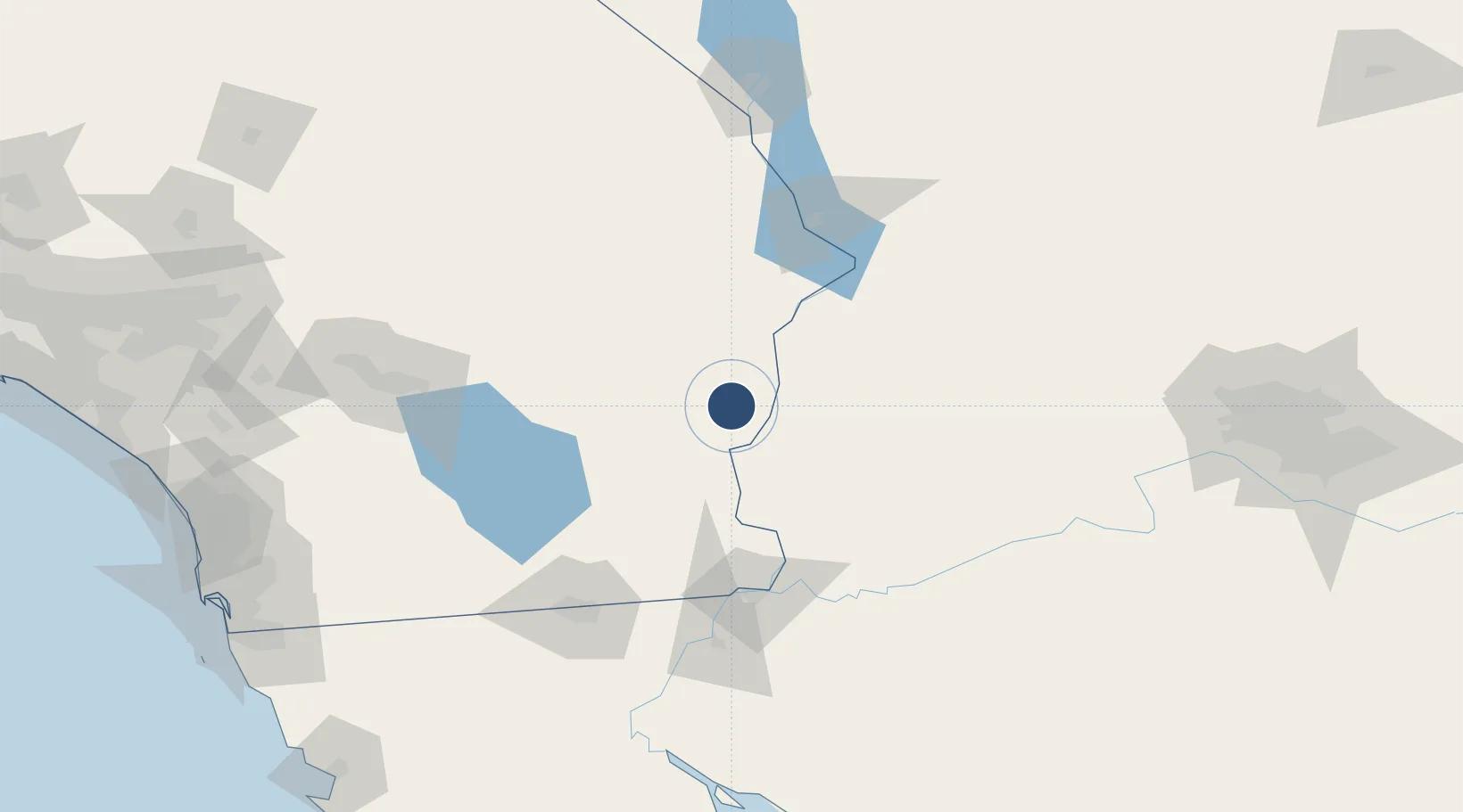
33.6192°, -114.7170°
6,543 ft
Longest runway
2
Runways
399 ft
Elevation
Runway & Layout

Radio Frequencies
ASOS
120.175 MHz
CNTR
128.15 MHz
LOS ANGELES CNTR
RDO
122.4 MHz
RIVERSIDE RDO
UNIC
122.8 MHz
CTAF/UNICOM
Runways · 2
| Runway | Dimensions | Surface | True heading | Lit |
|---|---|---|---|---|
| 08/26 | 6,543 × 150ft | Asphalt | 090° | ✓ |
| 17/35 | 5,800 × 100ft | Asphalt | 180° | ✓ |
Airport Specifications
IATA code
BLH
ICAO code
KBLH
Airport class
Medium airport
Scheduled service
No
Runway surface
Asphalt
Served city
Blythe
Location
Nearby Logistics Neighbours
Airports
Cities
- 1Quartzsite47 km
- 2Winterhaven99 km
- 3Wellton119 km
- 4Cadiz124 km
- 5Heber125 km
Ports
- 1San Diego251 km
- 2Rosarito262 km
- 3Ensenada265 km
- 4Newport Beach295 km
- 5Long Beach321 km
Trade Zones
- 1FTZ No. 219 Yuma102 km
- 2FTZ No. 257 Imperial County122 km
- 3FTZ No. 236 Palm Springs168 km
- 4FTZ No. 277 Western Maricopa County228 km
- 5FTZ No. 244 Riverside County240 km
DatabookThe Record of Consolidated Knowledge
United States beyond logistics?