Seaport · United States
Long BeachUSLGB
33.7667°, -118.1833°
18.6 m
Channel depth
6
Container terminals
242.1
Port liner connectivity
Channel & Berth Profile
Pilotage, Tugs & Services
Pilotage compulsoryYES
Pilotage availableYES
Pilotage advisableYES
Tug assistanceYES
Shore powerYES
Potable waterYES
Diesel bunkersYES
MedicalYES
Garbage disposalYES
Facilities & Capabilities
Container—
Ro-Ro—
Liquid bulk—
Dry bulk—
Oil terminal—
Break bulk—
Dry dockNO
RepairsNO
BunkeringYES
Rail linkYES
Dangerous cargo—
ISPS security—
Harbour Specifications
Harbour size
Medium
Harbour type
Coastal (Breakwater)
Shelter
Excellent
Water body
North Pacific Ocean
Tidal range
1.2 m
Overhead limit
Yes
Pilotage
Yes
Liner Connectivity
242.1
PLSCI
Port Liner Shipping Connectivity Index for Long Beach, as published by UNCTAD for the latest available quarter. Higher values indicate stronger scheduled liner-shipping integration.
Shown relative to the highest per-port PLSCI in the dataset (1,657.9).
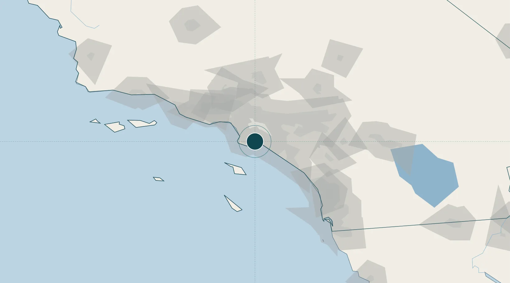
Location
Container Terminals · 6
ITS LONG BEACH (PIER G)
ITS INTERNATIONAL TRANSPORTATION SERVICE INC
LONG BEACH CONTAINER TERMINAL (PIER E)
LBCT LONG BEACH CONTAINER TERMINAL LLC
SSA TERMINALS PIER C60 (MATSON)
MATU SSA TERMINALS, LLC
PACIFIC CONTAINER TERMINAL LONG BEACH (PIER J)
SSAPCT PACIFIC MARITIME SERVICES, LLC (SSA/COSCO/TIL)
SSA TERMINALS PIER A
SSATA SSA TERMINALS (PIER A), LLC
TOTAL TERMINALS INTERNATIONAL (PIER T)
TTI TOTAL TERMINALS INTERNATIONAL, LLC
Nearby Logistics Neighbours
Ports
- 1Los Angeles6 km
- 2El Segundo29 km
- 3Newport Beach31 km
- 4Avalon48 km
- 5Port Hueneme103 km
Cities
- 1San Pedro4 km
- 2Thenard5 km
- 3Wilmington6 km
- 4North Long Beach9 km
- 5Los Angeles11 km
Airports
Trade Zones
- 1FTZ No. 050 Long Beach7 km
- 2FTZ No. 202 Los Angeles10 km
- 3FTZ No. 244 Riverside County84 km
- 4FTZ No. 191 Palmdale90 km
- 5FTZ No. 205 Port Hueneme103 km
DatabookThe Record of Consolidated Knowledge
United States beyond logistics?