Foreign Trade Zone · United States

FTZ No. 236 Palm Springs Inactive

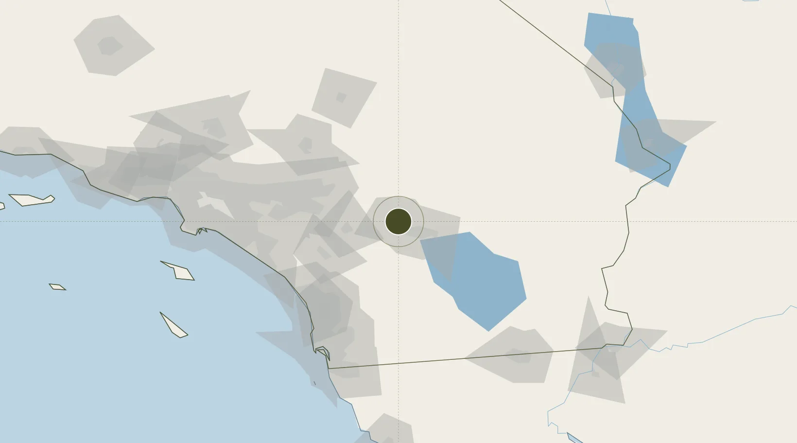
33.8240°, -116.5114°
130.5 km
Nearest port
0.8 km
Nearest airport

Gateway access

Nearest neighbours — logibook spatial index (haversine) over the source coordinates

Zone profile

Zone type
Foreign Trade Zone
Open Zone Map
Region
California
Open Zone Map
Status
Inactive
Open Zone Map
Management
Public
Open Zone Map
Operator
City of Palm Springs
Open Zone Map
Legal framework
Foreign-Trade Zones Act
Open Zone Map

Location

Location of ozm-4816
Natural Earth 10m (public domain) · California · ozm-4816 · 33.82, -116.51GoogleOSMYandex

Nearby Logistics Neighbours

Ports
  1. 1Newport Beach131 km
  2. 2San Diego138 km
  3. 3Long Beach155 km
  4. 4Los Angeles161 km
  5. 5Rosarito171 km
Nearest neighbours — logibook spatial index (haversine) over the source coordinates
Airports
  1. 1Palm Springs International Airport1 km
  2. 2Jacqueline Cochran Regional Airport39 km
  3. 3Twentynine Palms Strategic Expeditionary Landing Field62 km
  4. 4March Air Reserve Base69 km
  5. 5San Bernardino International Airport73 km
Nearest neighbours — logibook spatial index (haversine) over the source coordinates
Cities
  1. 1Cathedral City6 km
  2. 2North Palm Springs11 km
  3. 3Thousand Palms12 km
  4. 4Rancho Mirage13 km
  5. 5San Jacinto41 km
Nearest neighbours — logibook spatial index (haversine) over the source coordinates
Trade Zones
  1. 1FTZ No. 244 Riverside County73 km
  2. 2FTZ No. 243 Victorville116 km
  3. 3FTZ No. 153 San Diego145 km
  4. 4FTZ No. 257 Imperial County147 km
  5. 5FTZ No. 050 Long Beach150 km
Nearest neighbours — logibook spatial index (haversine) over the source coordinates
DatabookThe Record of Consolidated Knowledge
United States beyond logistics?
Browse databook

All Sources

Trade ZonesOpen Zone Map
CC BY
Portsthe NGA World Port Index
Public domain (US gov)
AirportsOurAirports
Public domain
LocationsUN/LOCODE
UN/LOCODE — free
← United States trade zones