Medium airport · United States

El Centro NAF Airport (Vraciu Field)KNJK

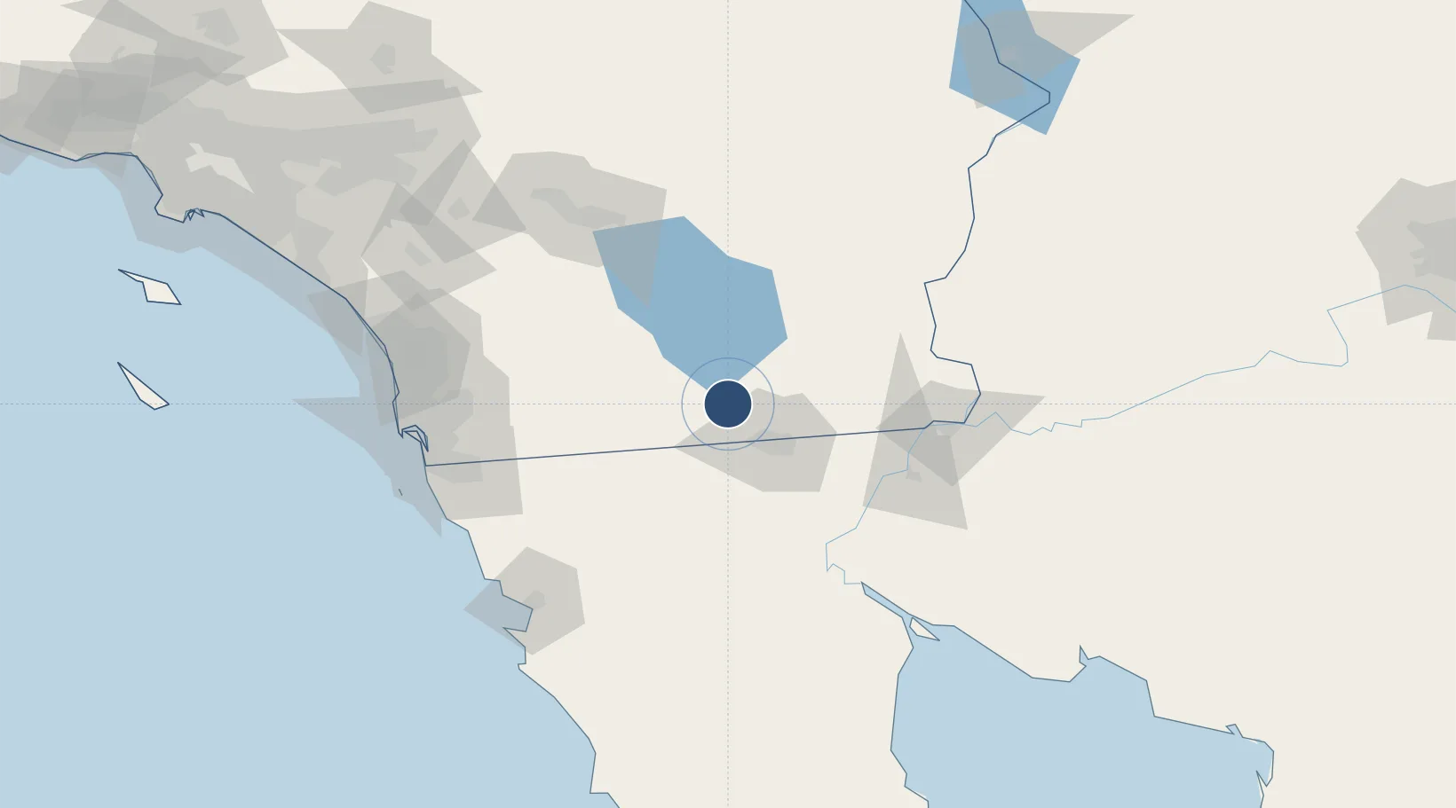
32.8292°, -115.6720°
9,503 ft
Longest runway
2
Runways
-42 ft
Elevation

Runway & Layout

El Centro NAF Airport (Vraciu Field) runway & taxiway layout
Runway & taxiway layout — OpenStreetMap (ODbL) / OurAirports

Radio Frequencies

ATIS
26.927 MHz
TWR
119.1 MHz
GND
121.9 MHz
CLD
34.02 MHz
CLNC DEL
PMSV
34.83 MHz
PMSV METRO
OurAirports

Navaids

IPL VORTAC Imperial 115.90 MHz
NJK TACAN El Centro 111.00 MHz
OurAirports

Runways · 2

RunwayDimensions SurfaceTrue headingLit
08/26 9,503 × 200ft Asphalt / concrete 090°
12/30 6,825 × 200ft Asphalt / concrete 135°
OurAirports

Airport Specifications

IATA code
NJK
OurAirports
ICAO code
KNJK
OurAirports
Airport class
Medium airport
OurAirports
Scheduled service
No
OurAirports
Runway surface
Asphalt / concrete
OurAirports
Served city
El Centro
OurAirports

Location

Location of KNJK
Natural Earth 10m (public domain) · California · KNJK · 32.83, -115.67GoogleOSMYandex

Nearby Logistics Neighbours

Airports
  1. 1Imperial County Airport9 km
  2. 2General Rodolfo Sánchez Taboada International Airport46 km
  3. 3Jacqueline Cochran Regional Airport100 km
  4. 4Yuma International Airport / Marine Corps Air Station Yuma101 km
  5. 5Blythe Airport125 km
Nearest neighbours — logibook spatial index (haversine) over the source coordinates
Cities
  1. 1Heber19 km
  2. 2Calexico22 km
  3. 3Mexicali33 km
  4. 4Winterhaven98 km
  5. 5Dulzura105 km
Nearest neighbours — logibook spatial index (haversine) over the source coordinates
Ports
  1. 1Ensenada140 km
  2. 2San Diego142 km
  3. 3Rosarito143 km
  4. 4Newport Beach225 km
  5. 5Avalon253 km
Nearest neighbours — logibook spatial index (haversine) over the source coordinates
Trade Zones
  1. 1FTZ No. 257 Imperial County13 km
  2. 2FTZ No. 219 Yuma100 km
  3. 3FTZ No. 153 San Diego133 km
  4. 4FTZ No. 236 Palm Springs135 km
  5. 5FTZ No. 244 Riverside County192 km
Nearest neighbours — logibook spatial index (haversine) over the source coordinates
DatabookThe Record of Consolidated Knowledge
United States beyond logistics?
Browse databook

All Sources

AirportsOurAirports
Public domain
Portsthe NGA World Port Index
Public domain (US gov)
LocationsUN/LOCODE
UN/LOCODE — free
Trade Zonesthe World Bank SEZ database
CC BY 4.0
Trade ZonesOpen Zone Map
CC BY
InfrastructureOpenStreetMap
ODbL 1.0
← United States airports