UN/LOCODE hub · United States
USWZD
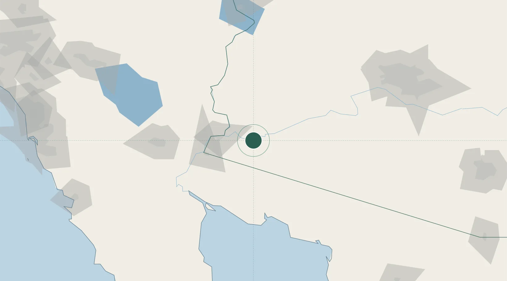
Wellton
32.6667°, -114.1333°
2,936
Population
2
Transport functions
Transport Functions
Rail
Road
Hub Profile
Place type
Populated place
Region
Arizona
Population
2,936
Time zone
America/Phoenix
Elevation
75 m
Location
Nearby Logistics Neighbours
Cities
- 1Winterhaven47 km
- 2Quartzsite112 km
- 3Mexicali121 km
- 4Calexico128 km
- 5Heber130 km
Ports
- 1Ensenada251 km
- 2Rosarito280 km
- 3San Diego286 km
- 4Newport Beach366 km
- 5Long Beach396 km
Airports
Trade Zones
- 1FTZ No. 219 Yuma45 km
- 2FTZ No. 257 Imperial County133 km
- 3FTZ No. 277 Western Maricopa County199 km
- 4FTZ No. 075 Phoenix210 km
- 5FTZ No. 221 Mesa230 km
DatabookThe Record of Consolidated Knowledge
United States beyond logistics?