Foreign Trade Zone · United States

FTZ No. 243 Victorville Active

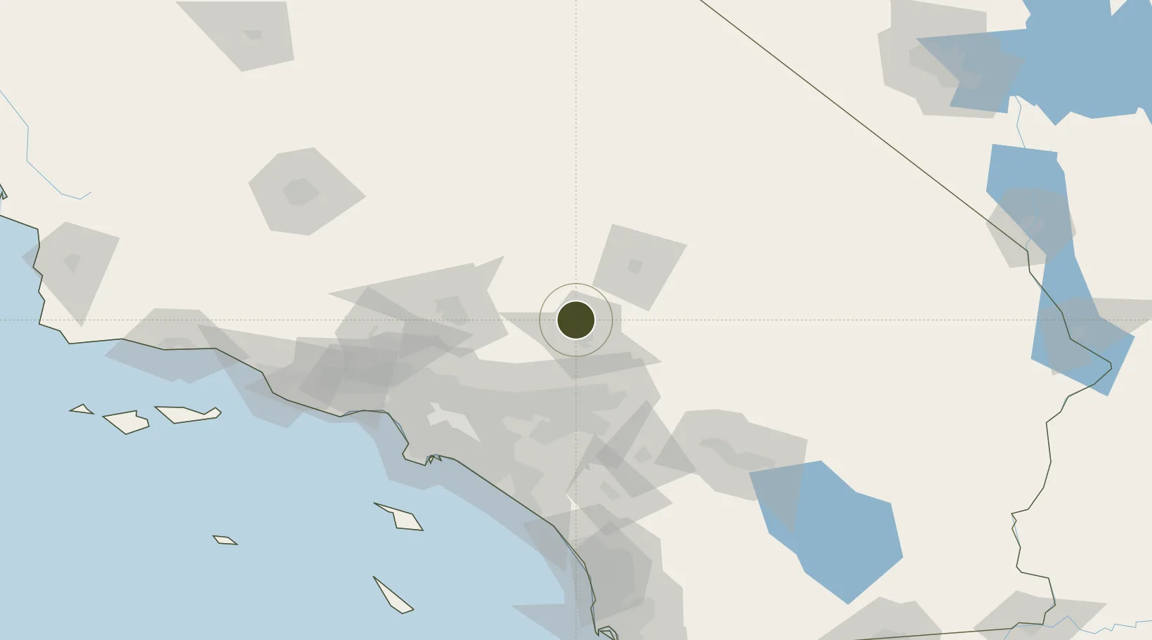
34.5873°, -117.3740°
117.8 km
Nearest port
56.0 km
Nearest airport

Gateway access

Nearest neighbours — logibook spatial index (haversine) over the source coordinates

Zone profile

Zone type
Foreign Trade Zone
Open Zone Map
Region
California
Open Zone Map
Status
Active
Open Zone Map
Management
Public
Open Zone Map
Operator
City of Victorville
Open Zone Map
Legal framework
Foreign-Trade Zones Act
Open Zone Map

Location

Location of ozm-4822
Natural Earth 10m (public domain) · California · ozm-4822 · 34.59, -117.37GoogleOSMYandex

Nearby Logistics Neighbours

Ports
  1. 1Long Beach118 km
  2. 2Newport Beach118 km
  3. 3El Segundo123 km
  4. 4Los Angeles123 km
  5. 5Avalon163 km
Nearest neighbours — logibook spatial index (haversine) over the source coordinates
Airports
  1. 1San Bernardino International Airport56 km
  2. 2Edwards Air Force Base59 km
  3. 3Barstow Daggett Airport61 km
  4. 4Ontario International Airport63 km
  5. 5Palmdale Regional Airport / USAF Plant 42 Airport65 km
Nearest neighbours — logibook spatial index (haversine) over the source coordinates
Cities
  1. 1Oro Grande4 km
  2. 2Lake Arrowhead41 km
  3. 3Llano42 km
  4. 4Ladera Ranch44 km
  5. 5Fawnskin54 km
Nearest neighbours — logibook spatial index (haversine) over the source coordinates
Trade Zones
  1. 1FTZ No. 191 Palmdale68 km
  2. 2FTZ No. 244 Riverside County76 km
  3. 3FTZ No. 050 Long Beach111 km
  4. 4FTZ No. 236 Palm Springs116 km
  5. 5FTZ No. 202 Los Angeles126 km
Nearest neighbours — logibook spatial index (haversine) over the source coordinates
DatabookThe Record of Consolidated Knowledge
United States beyond logistics?
Browse databook

All Sources

Trade ZonesOpen Zone Map
CC BY
Portsthe NGA World Port Index
Public domain (US gov)
AirportsOurAirports
Public domain
LocationsUN/LOCODE
UN/LOCODE — free
← United States trade zones