Foreign Trade Zone · United States

FTZ No. 244 Riverside County Active

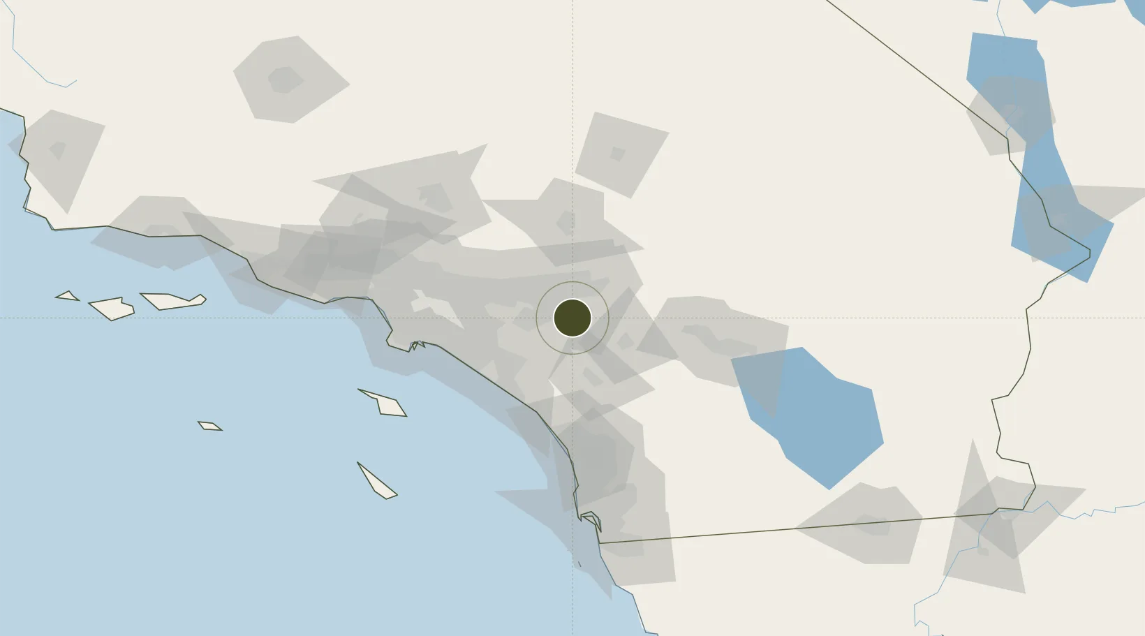
33.9109°, -117.2898°
65.2 km
Nearest port
4.4 km
Nearest airport

Gateway access

Nearest neighbours — logibook spatial index (haversine) over the source coordinates

Zone profile

Zone type
Foreign Trade Zone
Open Zone Map
Region
California
Open Zone Map
Status
Active
Open Zone Map
Management
Public-Private Partnership
Open Zone Map
Operator
March Joint Powers Authority
Open Zone Map
Legal framework
Foreign-Trade Zones Act
Open Zone Map

Location

Location of ozm-4914
Natural Earth 10m (public domain) · California · ozm-4914 · 33.91, -117.29GoogleOSMYandex

Nearby Logistics Neighbours

Ports
  1. 1Newport Beach65 km
  2. 2Long Beach84 km
  3. 3Los Angeles91 km
  4. 4El Segundo106 km
  5. 5Avalon114 km
Nearest neighbours — logibook spatial index (haversine) over the source coordinates
Airports
  1. 1March Air Reserve Base4 km
  2. 2Riverside Municipal Airport15 km
  3. 3San Bernardino International Airport21 km
  4. 4Ontario International Airport33 km
  5. 5John Wayne Orange County International Airport60 km
Nearest neighbours — logibook spatial index (haversine) over the source coordinates
Cities
  1. 1March Air Reserve Base3 km
  2. 2Moreno Valley6 km
  3. 3Rubidoux13 km
  4. 4Grand Terrace14 km
  5. 5Loma Linda16 km
Nearest neighbours — logibook spatial index (haversine) over the source coordinates
Trade Zones
  1. 1FTZ No. 236 Palm Springs73 km
  2. 2FTZ No. 243 Victorville76 km
  3. 3FTZ No. 050 Long Beach79 km
  4. 4FTZ No. 202 Los Angeles94 km
  5. 5FTZ No. 191 Palmdale106 km
Nearest neighbours — logibook spatial index (haversine) over the source coordinates
DatabookThe Record of Consolidated Knowledge
United States beyond logistics?
Browse databook

All Sources

Trade ZonesOpen Zone Map
CC BY
Portsthe NGA World Port Index
Public domain (US gov)
AirportsOurAirports
Public domain
LocationsUN/LOCODE
UN/LOCODE — free
← United States trade zones