Medium airport · United States

Jacqueline Cochran Regional AirportKTRM

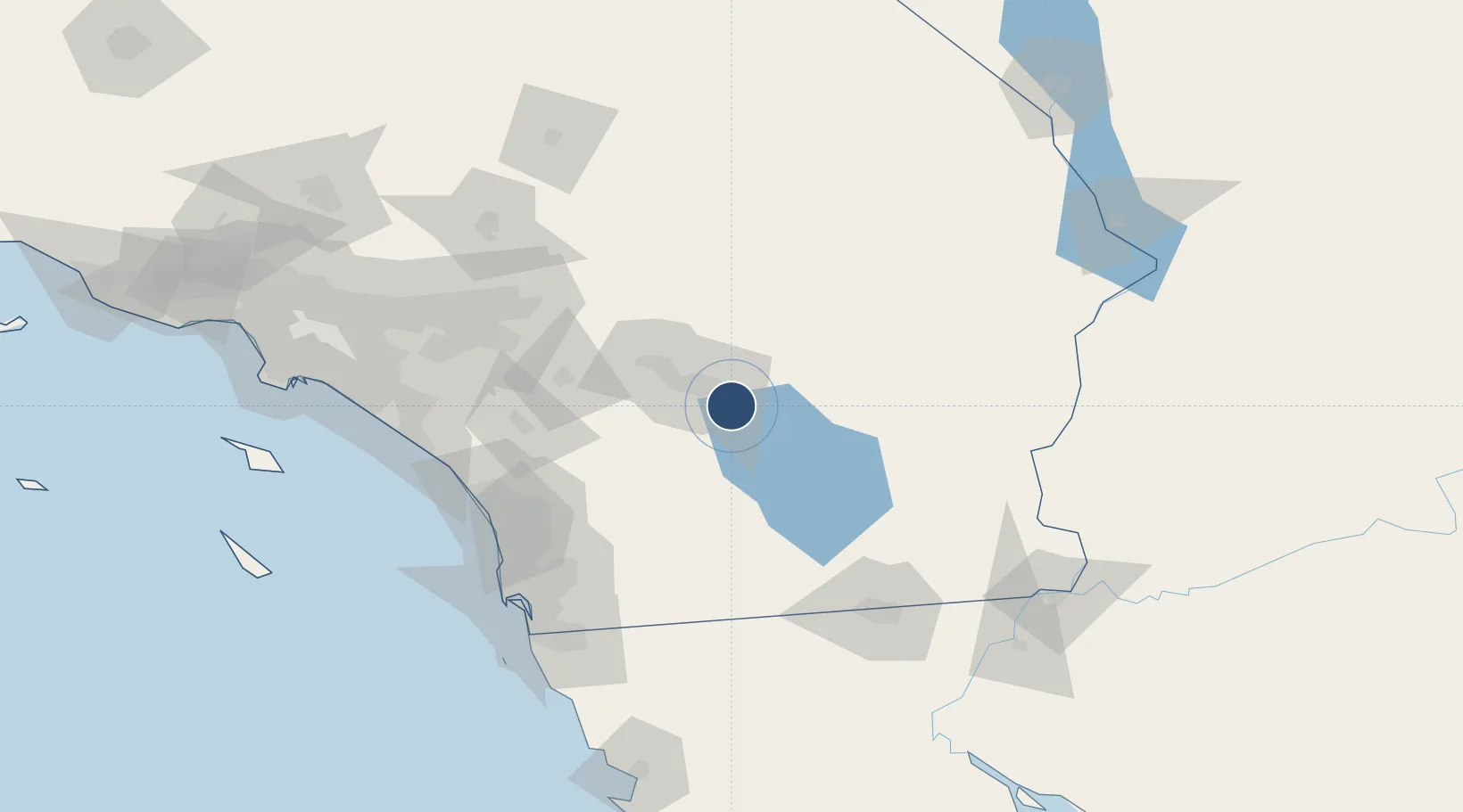
33.6267°, -116.1600°
8,500 ft
Longest runway
2
Runways
-115 ft
Elevation

Runway & Layout

Jacqueline Cochran Regional Airport runway & taxiway layout
Runway & taxiway layout — OpenStreetMap (ODbL) / OurAirports

Radio Frequencies

ASOS
118.325 MHz
A/D
135.275 MHz
PALM SPRINGS APP/DEP
RDO
122.3 MHz
RIVERSIDE RDO
UNIC
123 MHz
CTAF/UNICOM
OurAirports

Runways · 2

RunwayDimensions SurfaceTrue headingLit
17/35 8,500 × 150ft Asphalt 180°
12/30 4,995 × 100ft Asphalt 135°
OurAirports

Airport Specifications

IATA code
TRM
OurAirports
ICAO code
KTRM
OurAirports
Airport class
Medium airport
OurAirports
Scheduled service
No
OurAirports
Runway surface
Asphalt
OurAirports
Served city
Palm Springs
OurAirports

Location

Location of KTRM
Natural Earth 10m (public domain) · California · KTRM · 33.63, -116.16GoogleOSMYandex

Nearby Logistics Neighbours

Airports
  1. 1Palm Springs International Airport39 km
  2. 2Twentynine Palms Strategic Expeditionary Landing Field74 km
  3. 3El Centro NAF Airport (Vraciu Field)100 km
  4. 4Imperial County Airport104 km
  5. 5March Air Reserve Base106 km
Nearest neighbours — logibook spatial index (haversine) over the source coordinates
Cities
  1. 1Rancho Mirage27 km
  2. 2Thousand Palms30 km
  3. 3Cathedral City33 km
  4. 4North Palm Springs47 km
  5. 5San Jacinto75 km
Nearest neighbours — logibook spatial index (haversine) over the source coordinates
Ports
  1. 1San Diego139 km
  2. 2Newport Beach161 km
  3. 3Rosarito165 km
  4. 4Long Beach188 km
  5. 5Los Angeles194 km
Nearest neighbours — logibook spatial index (haversine) over the source coordinates
Trade Zones
  1. 1FTZ No. 236 Palm Springs39 km
  2. 2FTZ No. 244 Riverside County109 km
  3. 3FTZ No. 257 Imperial County111 km
  4. 4FTZ No. 153 San Diego141 km
  5. 5FTZ No. 243 Victorville155 km
Nearest neighbours — logibook spatial index (haversine) over the source coordinates
DatabookThe Record of Consolidated Knowledge
United States beyond logistics?
Browse databook

All Sources

AirportsOurAirports
Public domain
Portsthe NGA World Port Index
Public domain (US gov)
LocationsUN/LOCODE
UN/LOCODE — free
Trade Zonesthe World Bank SEZ database
CC BY 4.0
Trade ZonesOpen Zone Map
CC BY
InfrastructureOpenStreetMap
ODbL 1.0
← United States airports