Channel & Berth Profile
Pilotage, Tugs & Services
Shore powerNO
Potable waterYES
Diesel bunkersYES
MedicalYES
Garbage disposalYES
Facilities & Capabilities
Container—
Ro-Ro—
Liquid bulk—
Dry bulk—
Oil terminal—
Break bulk—
Dry dock—
RepairsNO
BunkeringNO
Rail link—
Dangerous cargo—
ISPS security—
Harbour Specifications
Harbour size
Very Small
Harbour type
Coastal (Natural)
Shelter
Fair
Water body
North Pacific Ocean
Tidal range
1.2 m
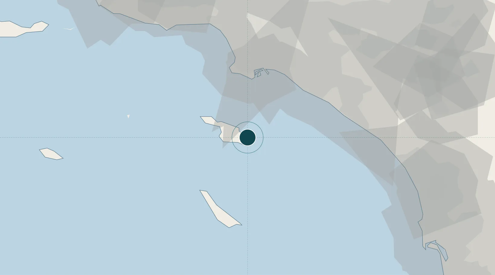
Location
Nearby Logistics Neighbours
Ports
- 1Los Angeles45 km
- 2Long Beach48 km
- 3Newport Beach49 km
- 4El Segundo64 km
- 5Port Hueneme121 km
Cities
- 1Catalina Island10 km
- 2Newport Beach48 km
- 3Thenard49 km
- 4Wilmington49 km
- 5Corona del Mar50 km
Airports
Trade Zones
- 1FTZ No. 202 Los Angeles44 km
- 2FTZ No. 050 Long Beach54 km
- 3FTZ No. 244 Riverside County114 km
- 4FTZ No. 205 Port Hueneme121 km
- 5FTZ No. 191 Palmdale138 km
DatabookThe Record of Consolidated Knowledge
United States beyond logistics?