UN/LOCODE hub · Australia
AUMID

Midland

31.8833°, -115.9833°
6,105
Population
2
Transport functions

Transport Functions

Port
Road
UN/LOCODE

Hub Profile

Place type
Urban district
GeoNames
Region
Western Australia
GeoNames
Population
6,105
GeoNames
Time zone
Australia/Perth
GeoNames
Elevation
19 m
GeoNames

Location

Location of AUMID
Natural Earth 10m (public domain) · Western Australia · AUMID · 31.88, -115.98GoogleOSMYandex

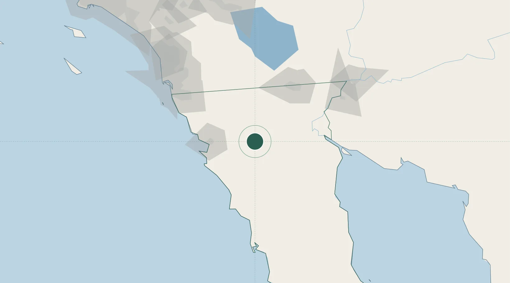
Nearby Logistics Neighbours

Cities
  1. 1Ensenada61 km
  2. 2Santo Tomas76 km
  3. 3Mexicali96 km
  4. 4Calexico101 km
  5. 5Heber103 km
Nearest neighbours — logibook spatial index (haversine) over the source coordinates
Ports
  1. 1Ensenada61 km
  2. 2Rosarito118 km
  3. 3San Diego146 km
  4. 4Newport Beach263 km
  5. 5Avalon273 km
Nearest neighbours — logibook spatial index (haversine) over the source coordinates
Trade Zones
  1. 1FTZ No. 257 Imperial County107 km
  2. 2FTZ No. 153 San Diego130 km
  3. 3FTZ No. 219 Yuma158 km
  4. 4FTZ No. 236 Palm Springs221 km
  5. 5FTZ No. 244 Riverside County256 km
Nearest neighbours — logibook spatial index (haversine) over the source coordinates
DatabookThe Record of Consolidated Knowledge
Australia beyond logistics?
Browse databook

All Sources

LocationsUN/LOCODE
UN/LOCODE — free
LocationsGeoNames
CC BY 4.0
Portsthe NGA World Port Index
Public domain (US gov)
AirportsOurAirports
Public domain
Trade Zonesthe World Bank SEZ database
CC BY 4.0
Trade ZonesOpen Zone Map
CC BY
← Australia locations