Medium airport · United States

Twentynine Palms Strategic Expeditionary Landing FieldKNXP

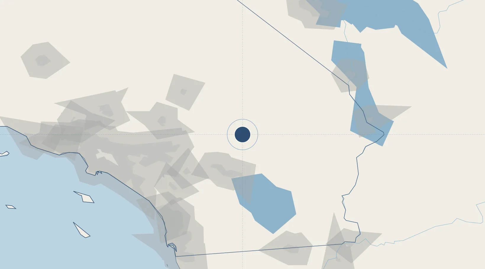
34.2962°, -116.1620°
8,015 ft
Longest runway
1
Runways
2,051 ft
Elevation

Runway & Layout

Twentynine Palms Strategic Expeditionary Landing Field runway & taxiway layout
Runway & taxiway layout — OpenStreetMap (ODbL) / OurAirports

Radio Frequencies

ATIS
38.635 MHz
TWR
135.525 MHz
GND
41.7 MHz
PMSV
30.83 MHz
PMSV METRO
OurAirports

Runways · 1

RunwayDimensions SurfaceTrue headingLit
10/28 8,015 × 150ft PSP 112°
OurAirports

Airport Specifications

ICAO code
KNXP
OurAirports
Airport class
Medium airport
OurAirports
Scheduled service
No
OurAirports
Runway surface
PSP
OurAirports
Served city
Twentynine Palms
OurAirports

Location

Location of KNXP
Natural Earth 10m (public domain) · California · KNXP · 34.30, -116.16GoogleOSMYandex

Nearby Logistics Neighbours

Airports
  1. 1Palm Springs International Airport61 km
  2. 2Jacqueline Cochran Regional Airport74 km
  3. 3Barstow Daggett Airport84 km
  4. 4San Bernardino International Airport101 km
  5. 5March Air Reserve Base111 km
Nearest neighbours — logibook spatial index (haversine) over the source coordinates
Cities
  1. 1Amboy48 km
  2. 2North Palm Springs54 km
  3. 3Thousand Palms57 km
  4. 4Cathedral City64 km
  5. 5Cadiz64 km
Nearest neighbours — logibook spatial index (haversine) over the source coordinates
Ports
  1. 1Newport Beach177 km
  2. 2Long Beach195 km
  3. 3San Diego200 km
  4. 4Los Angeles202 km
  5. 5El Segundo213 km
Nearest neighbours — logibook spatial index (haversine) over the source coordinates
Trade Zones
  1. 1FTZ No. 236 Palm Springs62 km
  2. 2FTZ No. 244 Riverside County112 km
  3. 3FTZ No. 243 Victorville116 km
  4. 4FTZ No. 257 Imperial County179 km
  5. 5FTZ No. 089 Clark County181 km
Nearest neighbours — logibook spatial index (haversine) over the source coordinates
DatabookThe Record of Consolidated Knowledge
United States beyond logistics?
Browse databook

All Sources

AirportsOurAirports
Public domain
Portsthe NGA World Port Index
Public domain (US gov)
LocationsUN/LOCODE
UN/LOCODE — free
Trade Zonesthe World Bank SEZ database
CC BY 4.0
Trade ZonesOpen Zone Map
CC BY
InfrastructureOpenStreetMap
ODbL 1.0
← United States airports