UN/LOCODE hub · United States
USUNG
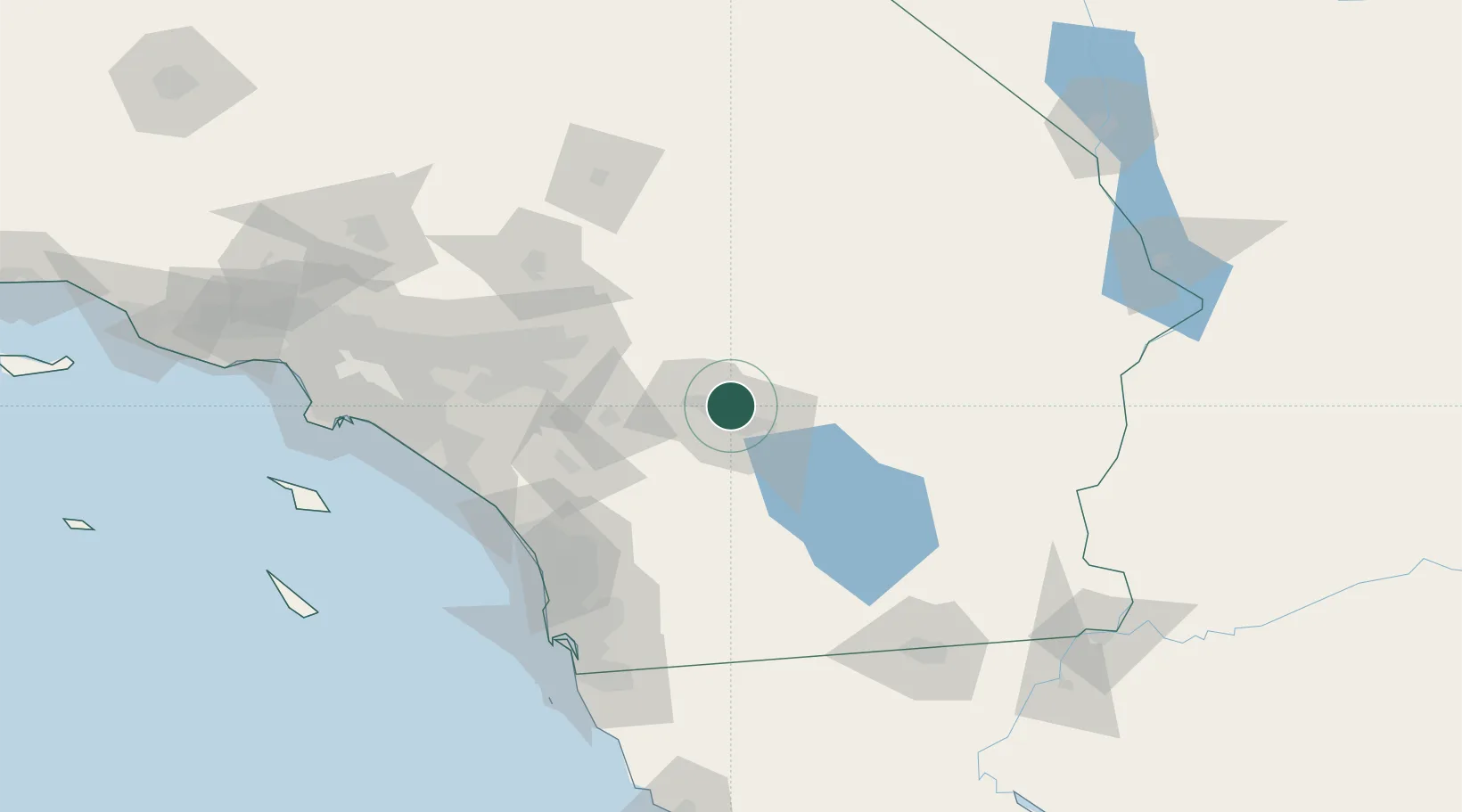
Thousand Palms
33.8167°, -116.3833°
7,715
Population
3
Transport functions
Transport Functions
Rail
Road
Multimodal
Hub Profile
Place type
Populated place
Region
California
Population
7,715
Time zone
America/Los_Angeles
Elevation
75 m
Location
Nearby Logistics Neighbours
Cities
- 1Cathedral City9 km
- 2Rancho Mirage10 km
- 3North Palm Springs18 km
- 4San Jacinto53 km
- 5Winchester66 km
Ports
- 1Newport Beach142 km
- 2San Diego143 km
- 3Long Beach166 km
- 4Los Angeles173 km
- 5Rosarito175 km
Airports
Trade Zones
- 1FTZ No. 236 Palm Springs12 km
- 2FTZ No. 244 Riverside County84 km
- 3FTZ No. 243 Victorville125 km
- 4FTZ No. 257 Imperial County140 km
- 5FTZ No. 153 San Diego149 km
DatabookThe Record of Consolidated Knowledge
United States beyond logistics?