Large airport · United States
San Bernardino International AirportKSBD
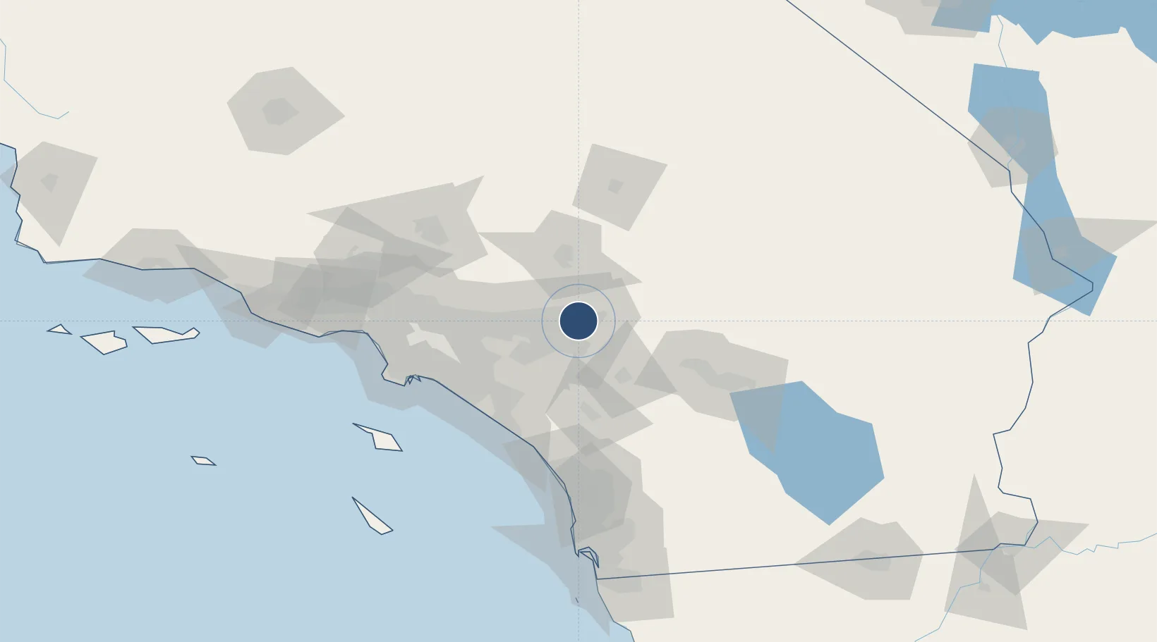
34.0967°, -117.2366°
10,000 ft
Longest runway
1
Runways
1,159 ft
Elevation
Runway & Layout

Radio Frequencies
ATIS
124.175 MHz
TWR
119.45 MHz
SAN BERNARDINO TOWER
GND
121.8 MHz
SAN BERNARDINO GROUND
CTAF
119.45 MHz
A/D
127 MHz
SOCAL A/D N/NE
A/D
134 MHz
SOCAL A/D NE/S
A/D
135.4 MHz
SOCAL A/D S/SW
MISC
123.975 MHz
TANKER BASE
UNIC
122.975 MHz
CTAF/UNICOM
Runways · 1
| Runway | Dimensions | Surface | True heading | Lit |
|---|---|---|---|---|
| 06/24 | 10,000 × 200ft | Concrete | 070° | ✓ |
Airport Specifications
IATA code
SBD
ICAO code
KSBD
Airport class
Large airport
Scheduled service
Yes
Runway surface
Concrete
Served city
San Bernardino
Location
Nearby Logistics Neighbours
Airports
Cities
- 1Loma Linda5 km
- 2Grand Terrace9 km
- 3Bloomington15 km
- 4Lake Arrowhead18 km
- 5Rubidoux20 km
Ports
- 1Newport Beach81 km
- 2Long Beach95 km
- 3Los Angeles101 km
- 4El Segundo112 km
- 5Avalon130 km
Trade Zones
- 1FTZ No. 244 Riverside County21 km
- 2FTZ No. 243 Victorville56 km
- 3FTZ No. 236 Palm Springs73 km
- 4FTZ No. 050 Long Beach89 km
- 5FTZ No. 191 Palmdale97 km
DatabookThe Record of Consolidated Knowledge
United States beyond logistics?