Foreign Trade Zone · United States
FTZ No. 050 Long Beach Active
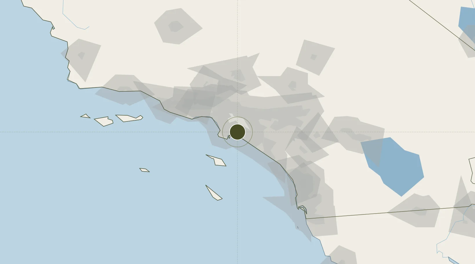
33.8108°, -118.1365°
6.5 km
Nearest port
1.4 km
Nearest airport
Gateway access
Zone profile
Zone type
Foreign Trade Zone
Region
California
Status
Active
Management
Public
Operator
Board of Harbor Commissioners of the Port of Long Beach
Legal framework
Foreign-Trade Zones Act
Location
Nearby Logistics Neighbours
Ports
- 1Long Beach7 km
- 2Los Angeles13 km
- 3El Segundo30 km
- 4Newport Beach31 km
- 5Avalon54 km
Airports
Cities
- 1San Pedro5 km
- 2North Long Beach6 km
- 3Los Alamitos7 km
- 4Long Beach7 km
- 5Los Angeles8 km
Trade Zones
- 1FTZ No. 202 Los Angeles16 km
- 2FTZ No. 244 Riverside County79 km
- 3FTZ No. 191 Palmdale85 km
- 4FTZ No. 205 Port Hueneme105 km
- 5FTZ No. 243 Victorville111 km
DatabookThe Record of Consolidated Knowledge
United States beyond logistics?