Large airport · United States
Palm Springs International AirportKPSP
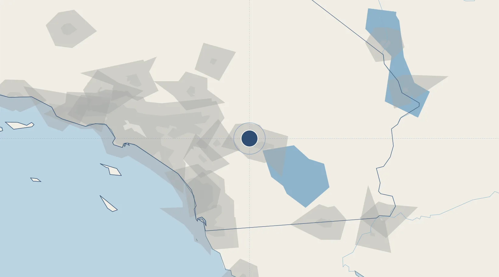
33.8297°, -116.5070°
10,000 ft
Longest runway
2
Runways
477 ft
Elevation
Runway & Layout

Radio Frequencies
ATIS
118.25 MHz
TWR
119.7 MHz
GND
121.9 MHz
CLD
128.35 MHz
CLNC DEL
CTAF
119.7 MHz
A/D
126.7 MHz
APP/DEP
RDO
115.5 MHz
RIVERSIDE RDO
UNIC
122.95 MHz
UNICOM
Navaids
PSP VORTAC Palm Springs 115.50 MHz
Runways · 2
| Runway | Dimensions | Surface | True heading | Lit |
|---|---|---|---|---|
| 13R/31L | 10,000 × 150ft | Asphalt | 144° | ✓ |
| 13L/31R | 4,953 × 75ft | Asphalt | 144° | ✓ |
Airport Specifications
IATA code
PSP
ICAO code
KPSP
Airport class
Large airport
Scheduled service
Yes
Runway surface
Asphalt
Served city
Palm Springs
Location
Nearby Logistics Neighbours
Airports
Cities
- 1Cathedral City6 km
- 2North Palm Springs10 km
- 3Thousand Palms12 km
- 4Rancho Mirage14 km
- 5San Jacinto41 km
Ports
- 1Newport Beach131 km
- 2San Diego139 km
- 3Long Beach155 km
- 4Los Angeles161 km
- 5Rosarito172 km
Trade Zones
- 1FTZ No. 236 Palm Springs1 km
- 2FTZ No. 244 Riverside County73 km
- 3FTZ No. 243 Victorville116 km
- 4FTZ No. 153 San Diego145 km
- 5FTZ No. 257 Imperial County148 km
DatabookThe Record of Consolidated Knowledge
United States beyond logistics?