UN/LOCODE hub · United States
USJNO
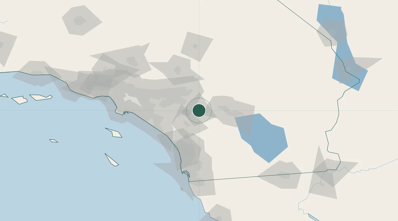
San Jacinto
33.7833°, -116.9500°
46,951
Population
2
Transport functions
Transport Functions
Rail
Road
Hub Profile
Place type
Populated place
Region
California
Population
46,951
Time zone
America/Los_Angeles
Elevation
477 m
Location
Nearby Logistics Neighbours
Cities
- 1Winchester15 km
- 2Romoland21 km
- 3Moreno Valley28 km
- 4March Air Reserve Base32 km
- 5Lake Elsinore38 km
Ports
- 1Newport Beach90 km
- 2Long Beach114 km
- 3Los Angeles120 km
- 4San Diego121 km
- 5Avalon136 km
Airports
Trade Zones
- 1FTZ No. 244 Riverside County34 km
- 2FTZ No. 236 Palm Springs41 km
- 3FTZ No. 243 Victorville98 km
- 4FTZ No. 050 Long Beach110 km
- 5FTZ No. 202 Los Angeles123 km
DatabookThe Record of Consolidated Knowledge
United States beyond logistics?