UN/LOCODE hub · United States
USRHG
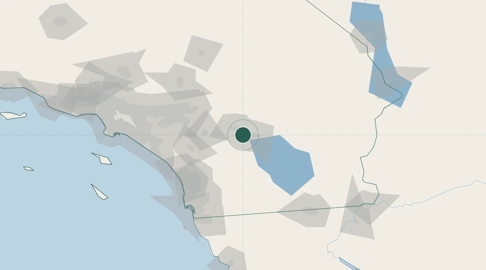
Rancho Mirage
33.7333°, -116.4167°
18,083
Population
3
Transport functions
Transport Functions
Port
Road
Multimodal
Hub Profile
Place type
Populated place
Region
California
Population
18,083
Time zone
America/Los_Angeles
Elevation
83 m
Location
Nearby Logistics Neighbours
Cities
- 1Cathedral City7 km
- 2Thousand Palms10 km
- 3North Palm Springs23 km
- 4San Jacinto50 km
- 5Winchester62 km
Ports
- 1San Diego134 km
- 2Newport Beach138 km
- 3Long Beach163 km
- 4Rosarito165 km
- 5Los Angeles170 km
Airports
Trade Zones
- 1FTZ No. 236 Palm Springs13 km
- 2FTZ No. 244 Riverside County83 km
- 3FTZ No. 243 Victorville130 km
- 4FTZ No. 257 Imperial County134 km
- 5FTZ No. 153 San Diego139 km
DatabookThe Record of Consolidated Knowledge
United States beyond logistics?