Seaport · United States
Los AngelesUSLAX
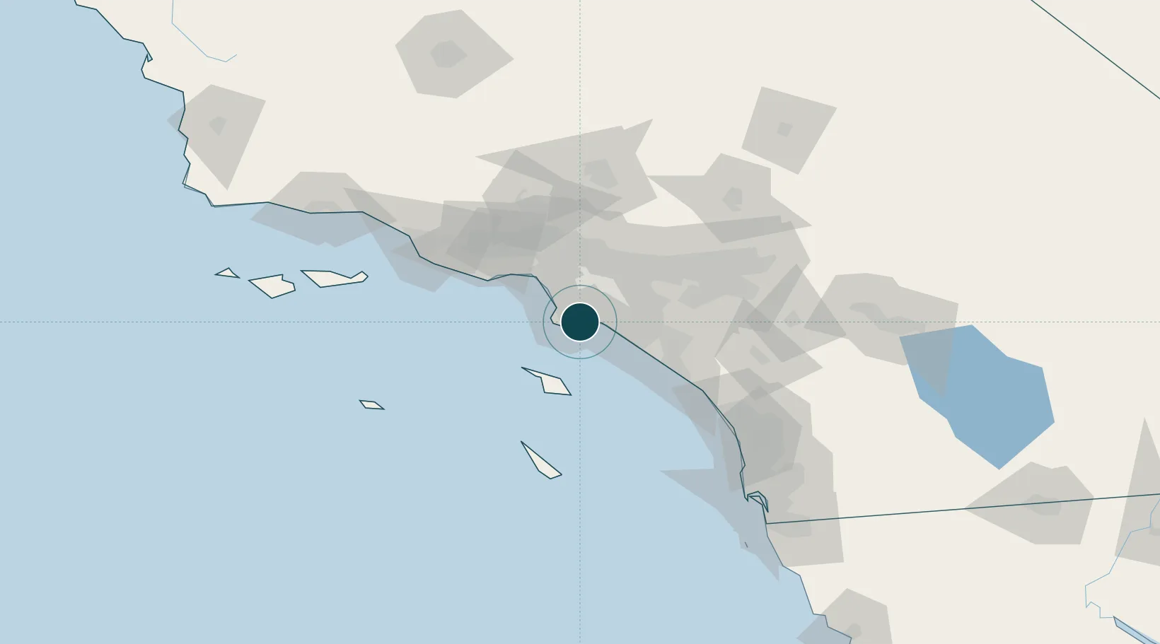
33.7500°, -118.2500°
14.0 m
Channel depth
6
Container terminals
284.6
Port liner connectivity
Channel & Berth Profile
Pilotage, Tugs & Services
Pilotage compulsoryYES
Pilotage availableYES
Pilotage advisableYES
Tug assistanceYES
Salvage tugsYES
Shore powerYES
Potable waterYES
Diesel bunkersYES
MedicalYES
Garbage disposalYES
Facilities & Capabilities
Container—
Ro-Ro—
Liquid bulk—
Dry bulk—
Oil terminal—
Break bulk—
Dry dockNO
RepairsNO
BunkeringYES
Rail linkYES
Dangerous cargo—
ISPS security—
Harbour Specifications
Harbour size
Large
Harbour type
Coastal (Breakwater)
Shelter
Excellent
Water body
North Pacific Ocean
Tidal range
1.2 m
Overhead limit
Yes
Pilotage
Yes
Liner Connectivity
284.6
PLSCI
Port Liner Shipping Connectivity Index for Los Angeles, as published by UNCTAD for the latest available quarter. Higher values indicate stronger scheduled liner-shipping integration.
Shown relative to the highest per-port PLSCI in the dataset (1,657.9).
Location
Container Terminals · 6
APM TERMINALS LOS ANGELES PIER 400
APMT APM TERMINALS
FENIX MARINE CONTAINER TERMINAL (FMS)
EAGLE FENIX MARINE SERVICES
EVERPORT CONTAINER TERMINAL (ETS)
ETS EVERPORT TERMINAL SERVICES, LTD. (ETS)
TRAPAC CONTAINER TERMINAL
TRAP TRAPAC LOS ANGELES
WEST BASIN CONTAINER TERMINAL (WBCT)
WBCT WEST BASIN CONTAINER TERMINAL LLC
YUSEN CONTAINER TERMINAL (YTI)
YUSEN YUSEN TERMINALS LLC
Nearby Logistics Neighbours
Ports
- 1Long Beach6 km
- 2El Segundo25 km
- 3Newport Beach36 km
- 4Avalon45 km
- 5Port Hueneme98 km
Cities
- 1Thenard4 km
- 2Wilmington4 km
- 3Long Beach8 km
- 4San Pedro8 km
- 5North Long Beach13 km
Airports
Trade Zones
DatabookThe Record of Consolidated Knowledge
United States beyond logistics?