UN/LOCODE hub · United States
USRTP

North Palm Springs

33.9167°, -116.5333°
2
Transport functions

Transport Functions

Road
Multimodal
UN/LOCODE

Hub Profile

Place type
Populated place
GeoNames
Region
California
GeoNames
Time zone
America/Los_Angeles
GeoNames
Elevation
263 m
GeoNames

Location

Location of USRTP
Natural Earth 10m (public domain) · California · USRTP · 33.92, -116.53GoogleOSMYandex

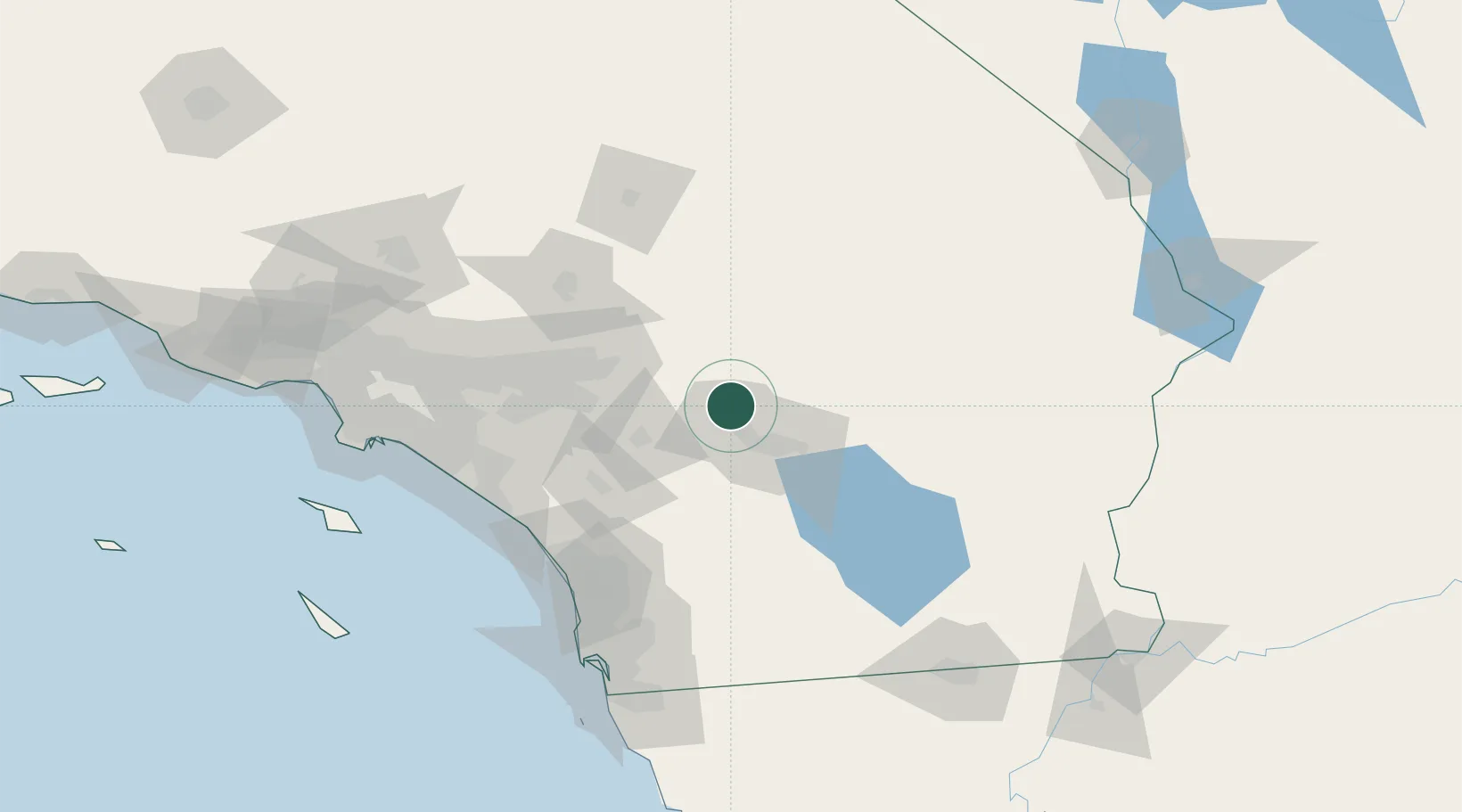
Nearby Logistics Neighbours

Cities
  1. 1Cathedral City16 km
  2. 2Thousand Palms18 km
  3. 3Rancho Mirage23 km
  4. 4San Jacinto41 km
  5. 5Fawnskin54 km
Nearest neighbours — logibook spatial index (haversine) over the source coordinates
Ports
  1. 1Newport Beach131 km
  2. 2San Diego147 km
  3. 3Long Beach153 km
  4. 4Los Angeles160 km
  5. 5El Segundo175 km
Nearest neighbours — logibook spatial index (haversine) over the source coordinates
Airports
  1. 1Palm Springs International Airport10 km
  2. 2Jacqueline Cochran Regional Airport47 km
  3. 3Twentynine Palms Strategic Expeditionary Landing Field54 km
  4. 4March Air Reserve Base67 km
  5. 5San Bernardino International Airport68 km
Nearest neighbours — logibook spatial index (haversine) over the source coordinates
Trade Zones
  1. 1FTZ No. 236 Palm Springs11 km
  2. 2FTZ No. 244 Riverside County70 km
  3. 3FTZ No. 243 Victorville107 km
  4. 4FTZ No. 050 Long Beach149 km
  5. 5FTZ No. 153 San Diego154 km
Nearest neighbours — logibook spatial index (haversine) over the source coordinates
DatabookThe Record of Consolidated Knowledge
United States beyond logistics?
Browse databook

All Sources

LocationsUN/LOCODE
UN/LOCODE — free
Portsthe NGA World Port Index
Public domain (US gov)
AirportsOurAirports
Public domain
Trade Zonesthe World Bank SEZ database
CC BY 4.0
Trade ZonesOpen Zone Map
CC BY
← United States locations