Medium airport · United States

March Air Reserve BaseKRIV

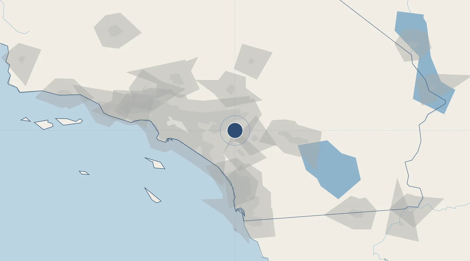
33.8807°, -117.2590°
13,302 ft
Longest runway
2
Runways
1,536 ft
Elevation

Runway & Layout

March Air Reserve Base runway & taxiway layout
Runway & taxiway layout — OpenStreetMap (ODbL) / OurAirports

Radio Frequencies

ATIS
134.75 MHz
TWR
127.65 MHz
A/D
119.25 MHz
APP/DEP
GCCD
121.75 MHz
GND/CLNC DEL
OPS
29.37 MHz
ANG OPS
PMSV
23.98 MHz
PMSV METRO
POST
31.1 MHz
COMD POST
PTD
37.22 MHz
RDO
113.4 MHz
RIVERSIDE RDO
OurAirports

Navaids

HDF VOR Homeland 113.40 MHz
RIV TACAN March 113.00 MHz
OurAirports

Runways · 2

RunwayDimensions SurfaceTrue headingLit
14/32 13,302 × 200ft Concrete 149°
12/30 3,061 × 100ft Asphalt 135°
OurAirports

Airport Specifications

IATA code
RIV
OurAirports
ICAO code
KRIV
OurAirports
Airport class
Medium airport
OurAirports
Scheduled service
No
OurAirports
Runway surface
Concrete
OurAirports
Served city
Riverside
OurAirports

Location

Location of KRIV
Natural Earth 10m (public domain) · California · KRIV · 33.88, -117.26GoogleOSMYandex

Nearby Logistics Neighbours

Airports
  1. 1Riverside Municipal Airport19 km
  2. 2San Bernardino International Airport24 km
  3. 3Ontario International Airport37 km
  4. 4John Wayne Orange County International Airport61 km
  5. 5Camp Pendleton MCAS (Munn Field) Airport65 km
Nearest neighbours — logibook spatial index (haversine) over the source coordinates
Cities
  1. 1March Air Reserve Base2 km
  2. 2Moreno Valley3 km
  3. 3Rubidoux17 km
  4. 4Grand Terrace17 km
  5. 5Romoland19 km
Nearest neighbours — logibook spatial index (haversine) over the source coordinates
Ports
  1. 1Newport Beach66 km
  2. 2Long Beach86 km
  3. 3Los Angeles93 km
  4. 4El Segundo109 km
  5. 5Avalon114 km
Nearest neighbours — logibook spatial index (haversine) over the source coordinates
Trade Zones
  1. 1FTZ No. 244 Riverside County4 km
  2. 2FTZ No. 236 Palm Springs69 km
  3. 3FTZ No. 243 Victorville79 km
  4. 4FTZ No. 050 Long Beach81 km
  5. 5FTZ No. 202 Los Angeles96 km
Nearest neighbours — logibook spatial index (haversine) over the source coordinates
DatabookThe Record of Consolidated Knowledge
United States beyond logistics?
Browse databook

All Sources

AirportsOurAirports
Public domain
Portsthe NGA World Port Index
Public domain (US gov)
LocationsUN/LOCODE
UN/LOCODE — free
Trade Zonesthe World Bank SEZ database
CC BY 4.0
Trade ZonesOpen Zone Map
CC BY
InfrastructureOpenStreetMap
ODbL 1.0
← United States airports