UN/LOCODE hub · United States
USYCD
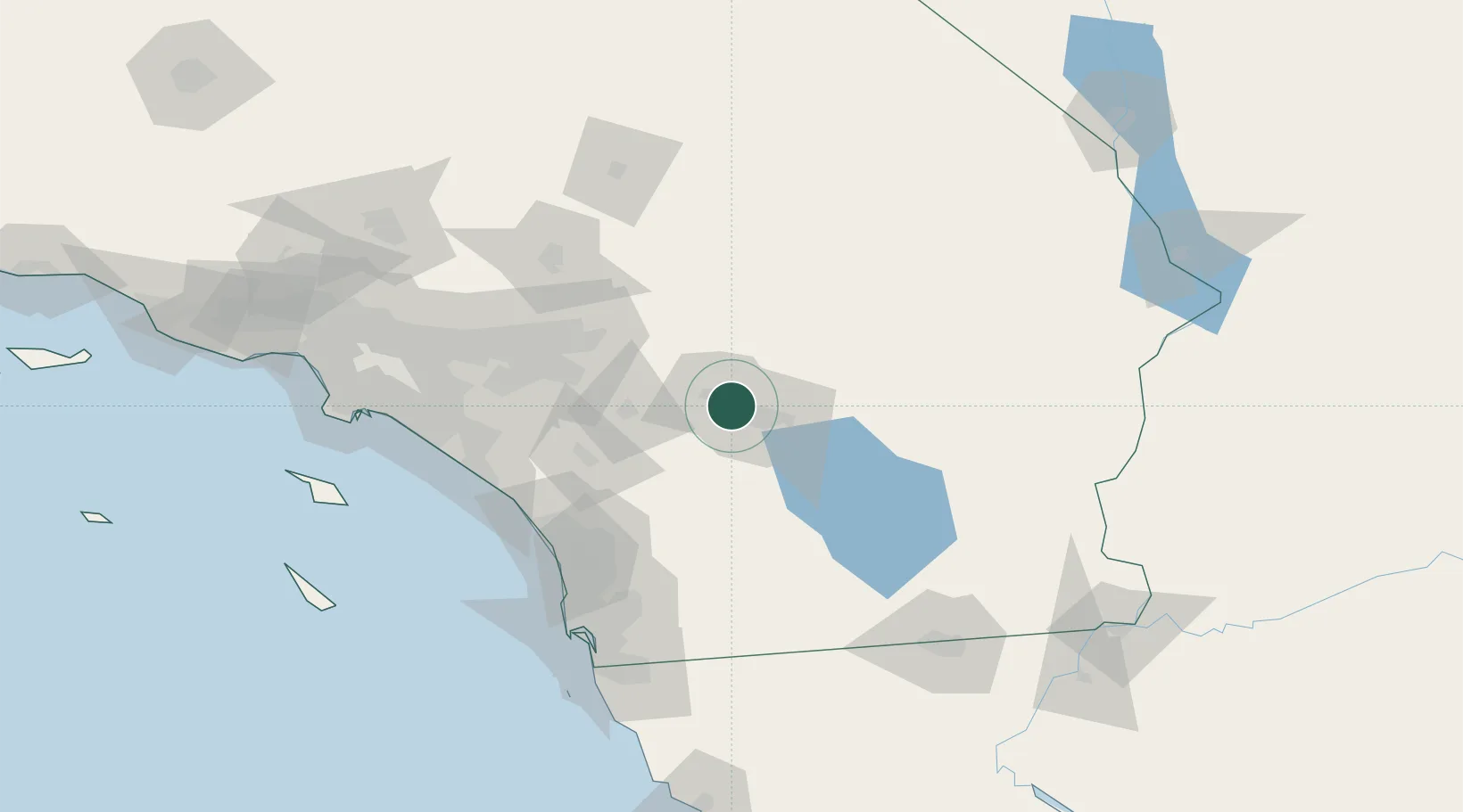
Cathedral City
33.7833°, -116.4667°
53,826
Population
2
Transport functions
Transport Functions
Port
Road
Hub Profile
Place type
Populated place
Region
California
Population
53,826
Time zone
America/Los_Angeles
Elevation
100 m
Location
Nearby Logistics Neighbours
Cities
- 1Rancho Mirage7 km
- 2Thousand Palms9 km
- 3North Palm Springs16 km
- 4San Jacinto45 km
- 5Winchester58 km
Ports
- 1Newport Beach134 km
- 2San Diego136 km
- 3Long Beach159 km
- 4Los Angeles165 km
- 5Rosarito168 km
Airports
Trade Zones
- 1FTZ No. 236 Palm Springs6 km
- 2FTZ No. 244 Riverside County77 km
- 3FTZ No. 243 Victorville122 km
- 4FTZ No. 257 Imperial County141 km
- 5FTZ No. 153 San Diego142 km
DatabookThe Record of Consolidated Knowledge
United States beyond logistics?