Export Processing Zone · South Africa

Komani Industrial Park Active
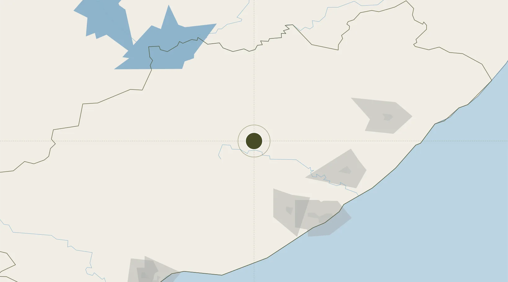
-31.9137°, 26.9193°
216 ha
Zone area
155.7 km
Nearest port
3.6 km
Nearest airport

Gateway access

Nearest neighbours — logibook spatial index (haversine) over the source coordinates

Zone profile

Zone type
Export Processing Zone
Open Zone Map
Region
Eastern Cape
Open Zone Map
Status
Active
Open Zone Map
Management
Private
Open Zone Map
Operator
Chris Hani Development Agency
Open Zone Map
Legal framework
Special Economic Zones Act No.16 of 2014
Open Zone Map

Location

Location of ozm-4153
Natural Earth 10m (public domain) · Eastern Cape · ozm-4153 · -31.91, 26.92GoogleOSMYandex

Nearby Logistics Neighbours

Ports
  1. 1East London156 km
  2. 2Port Elizabeth256 km
  3. 3Durban457 km
  4. 4Mossel Bay511 km
  5. 5Richards Bay605 km
Nearest neighbours — logibook spatial index (haversine) over the source coordinates
Airports
  1. 1Queenstown Airport4 km
  2. 2Bisho Airport114 km
  3. 3King Phalo Airport151 km
  4. 4K. D. Matanzima Airport171 km
  5. 5Port St Johns Airport248 km
Nearest neighbours — logibook spatial index (haversine) over the source coordinates
Cities
  1. 1Eastern Cape63 km
  2. 2Adelaide105 km
  3. 3Amsterdam128 km
  4. 4Fort Jackson130 km
  5. 5Red Hill132 km
Nearest neighbours — logibook spatial index (haversine) over the source coordinates
Trade Zones
  1. 1Dimbaza Industrial Park106 km
  2. 2East London Industrial Development Zone154 km
  3. 3Somerset East Industrial Park155 km
  4. 4Wild Coast (Mthatha) Special Economic Zone173 km
  5. 5Vulindlela Industrial Park179 km
Nearest neighbours — logibook spatial index (haversine) over the source coordinates
DatabookThe Record of Consolidated Knowledge
South Africa beyond logistics?
Browse databook

All Sources

Trade ZonesOpen Zone Map
CC BY
Portsthe NGA World Port Index
Public domain (US gov)
AirportsOurAirports
Public domain
LocationsUN/LOCODE
UN/LOCODE — free
← South Africa trade zones