UN/LOCODE hub · South Africa
ZAZAE

Amsterdam

-31.6167°, 25.6167°
1
Transport functions

Transport Functions

Multimodal
UN/LOCODE

Hub Profile

Place type
Populated place
GeoNames
Region
Eastern Cape
GeoNames
Time zone
Africa/Johannesburg
GeoNames
Elevation
1,162 m
GeoNames

Location

Location of ZAZAE
Natural Earth 10m (public domain) · Eastern Cape · ZAZAE · -31.62, 25.62GoogleOSMYandex

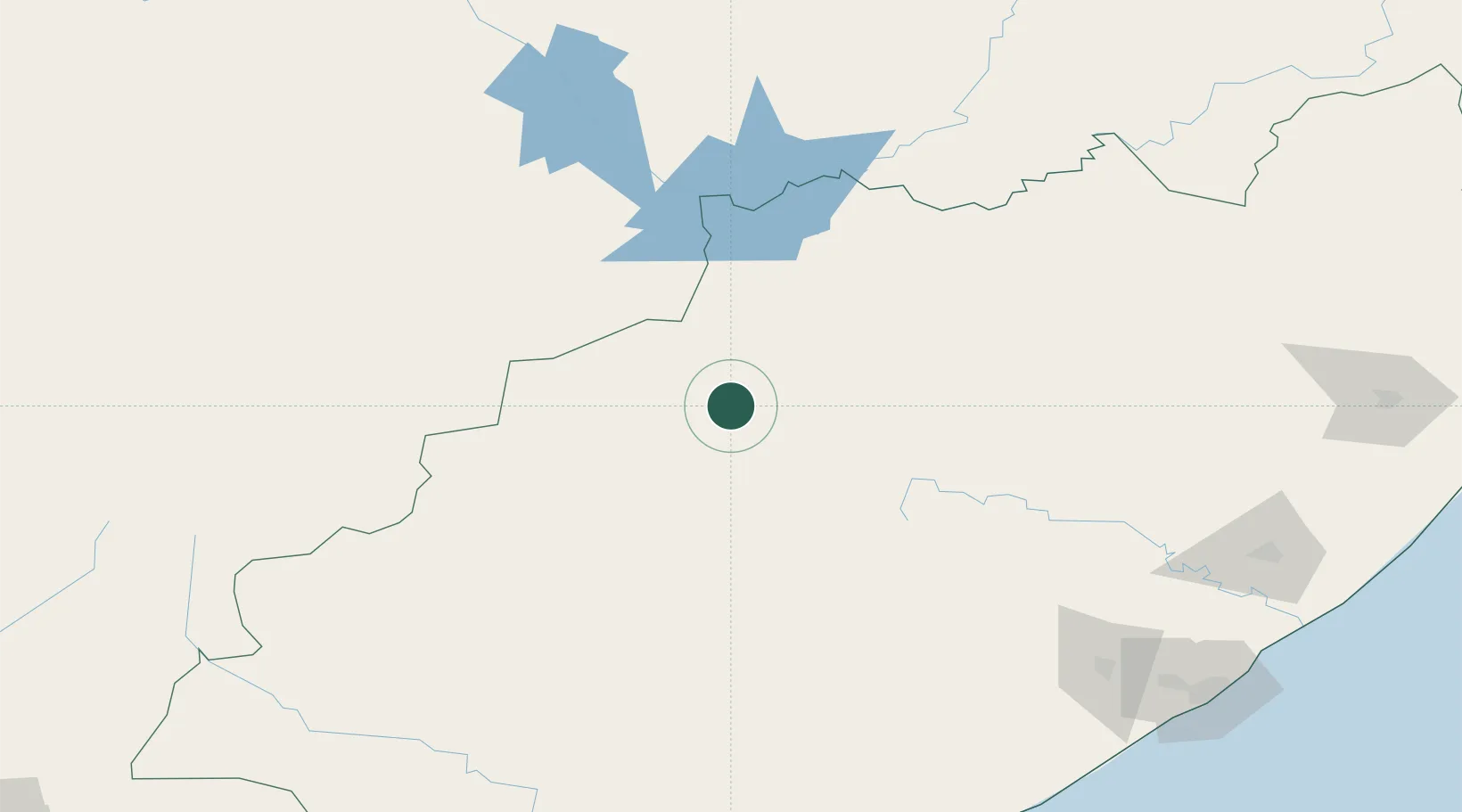
Nearby Logistics Neighbours

Cities
  1. 1Eastern Cape106 km
  2. 2Somerset East122 km
  3. 3Graaff Reinet123 km
  4. 4Adelaide137 km
  5. 5Waterkloof Ridge150 km
Nearest neighbours — logibook spatial index (haversine) over the source coordinates
Ports
  1. 1Port Elizabeth260 km
  2. 2East London267 km
  3. 3Mossel Bay431 km
  4. 4Durban556 km
  5. 5Richards Bay697 km
Nearest neighbours — logibook spatial index (haversine) over the source coordinates
Airports
  1. 1Queenstown Airport124 km
  2. 2Bisho Airport211 km
  3. 3King Phalo Airport261 km
  4. 4Chief Dawid Stuurman International Airport264 km
  5. 5Bram Fischer International Airport288 km
Nearest neighbours — logibook spatial index (haversine) over the source coordinates
Trade Zones
  1. 1Somerset East Industrial Park126 km
  2. 2Komani Industrial Park128 km
  3. 3Dimbaza Industrial Park201 km
  4. 4Coega Industrial Development Zone240 km
  5. 5Mafeteng Special Economic Zone253 km
Nearest neighbours — logibook spatial index (haversine) over the source coordinates
DatabookThe Record of Consolidated Knowledge
South Africa beyond logistics?
Browse databook

All Sources

LocationsUN/LOCODE
UN/LOCODE — free
Portsthe NGA World Port Index
Public domain (US gov)
AirportsOurAirports
Public domain
Trade Zonesthe World Bank SEZ database
CC BY 4.0
Trade ZonesOpen Zone Map
CC BY
← South Africa locations