Export Processing Zone · South Africa

Somerset East Industrial Park Under Development
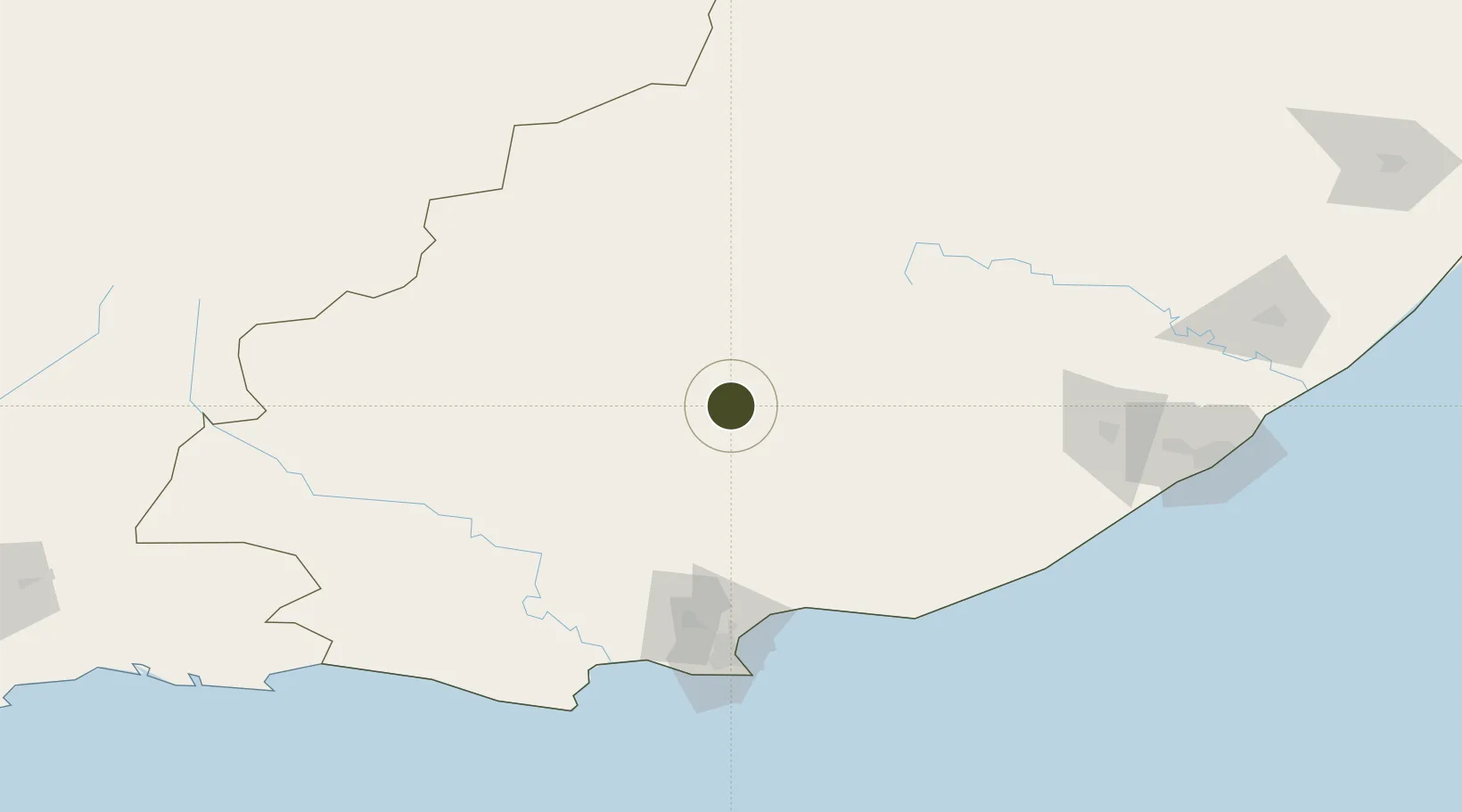
-32.7453°, 25.5962°
50 ha
Zone area
134.2 km
Nearest port
138.4 km
Nearest airport

Gateway access

Nearest neighbours — logibook spatial index (haversine) over the source coordinates

Zone profile

Zone type
Export Processing Zone
Open Zone Map
Region
Eastern Cape
Open Zone Map
Status
Under Development
Open Zone Map
Management
Public
Open Zone Map
Operator
Nelson Mandela Bay Metro Municipality
Open Zone Map
Legal framework
Special Economic Zones Act No.16 of 2014
Open Zone Map

Location

Location of ozm-4150
Natural Earth 10m (public domain) · Eastern Cape · ozm-4150 · -32.75, 25.60GoogleOSMYandex

Nearby Logistics Neighbours

Ports
  1. 1Port Elizabeth134 km
  2. 2East London219 km
  3. 3Mossel Bay357 km
  4. 4Durban610 km
  5. 5Cape Town680 km
Nearest neighbours — logibook spatial index (haversine) over the source coordinates
Airports
  1. 1Chief Dawid Stuurman International Airport138 km
  2. 2Queenstown Airport152 km
  3. 3Bisho Airport158 km
  4. 4King Phalo Airport211 km
  5. 5Plettenberg Bay Airport258 km
Nearest neighbours — logibook spatial index (haversine) over the source coordinates
Cities
  1. 1Somerset East3 km
  2. 2Adelaide66 km
  3. 3Jansenville89 km
  4. 4Eastern Cape93 km
  5. 5Graaff Reinet113 km
Nearest neighbours — logibook spatial index (haversine) over the source coordinates
Trade Zones
  1. 1Coega Industrial Development Zone114 km
  2. 2Dimbaza Industrial Park150 km
  3. 3Komani Industrial Park155 km
  4. 4East London Industrial Development Zone213 km
  5. 5Wild Coast (Mthatha) Special Economic Zone321 km
Nearest neighbours — logibook spatial index (haversine) over the source coordinates
DatabookThe Record of Consolidated Knowledge
South Africa beyond logistics?
Browse databook

All Sources

Trade ZonesOpen Zone Map
CC BY
Portsthe NGA World Port Index
Public domain (US gov)
AirportsOurAirports
Public domain
LocationsUN/LOCODE
UN/LOCODE — free
← South Africa trade zones