Economic Revitalization Project · South Africa

Wild Coast (Mthatha) Special Economic Zone Active
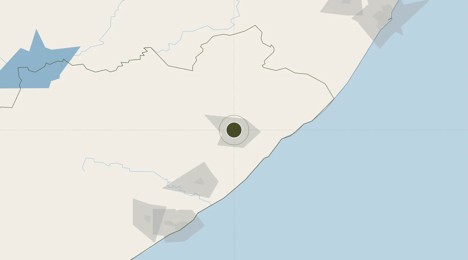
-31.5456°, 28.6991°
141 ha
Zone area
181.0 km
Nearest port
2.4 km
Nearest airport

Gateway access

Nearest neighbours — logibook spatial index (haversine) over the source coordinates

Zone profile

Zone type
Economic Revitalization Project
Open Zone Map
Region
Eastern Cape
Open Zone Map
Status
Active
Open Zone Map
Management
Public-Private Partnership
Open Zone Map
Operator
Coega Development Corporation
Open Zone Map
Legal framework
Special Economic Zones Act No.16 of 2014
Open Zone Map

Location

Location of ozm-4148
Natural Earth 10m (public domain) · Eastern Cape · ozm-4148 · -31.55, 28.70GoogleOSMYandex

Nearby Logistics Neighbours

Ports
  1. 1East London181 km
  2. 2Durban293 km
  3. 3Port Elizabeth392 km
  4. 4Richards Bay446 km
  5. 5Mossel Bay678 km
Nearest neighbours — logibook spatial index (haversine) over the source coordinates
Airports
  1. 1K. D. Matanzima Airport2 km
  2. 2Port St Johns Airport78 km
  3. 3Margate Airport174 km
  4. 4Queenstown Airport177 km
  5. 5King Phalo Airport185 km
Nearest neighbours — logibook spatial index (haversine) over the source coordinates
Cities
  1. 1Ugie Ec63 km
  2. 2Kenmore67 km
  3. 3Port Saint John's80 km
  4. 4Red Hill98 km
  5. 5Kokstad130 km
Nearest neighbours — logibook spatial index (haversine) over the source coordinates
Trade Zones
  1. 1Vulindlela Industrial Park10 km
  2. 2Komani Industrial Park173 km
  3. 3East London Industrial Development Zone186 km
  4. 4Dimbaza Industrial Park202 km
  5. 5Mafeteng Special Economic Zone239 km
Nearest neighbours — logibook spatial index (haversine) over the source coordinates
DatabookThe Record of Consolidated Knowledge
South Africa beyond logistics?
Browse databook

All Sources

Trade ZonesOpen Zone Map
CC BY
Portsthe NGA World Port Index
Public domain (US gov)
AirportsOurAirports
Public domain
LocationsUN/LOCODE
UN/LOCODE — free
← South Africa trade zones