Seaport · South Africa
East LondonZAELS
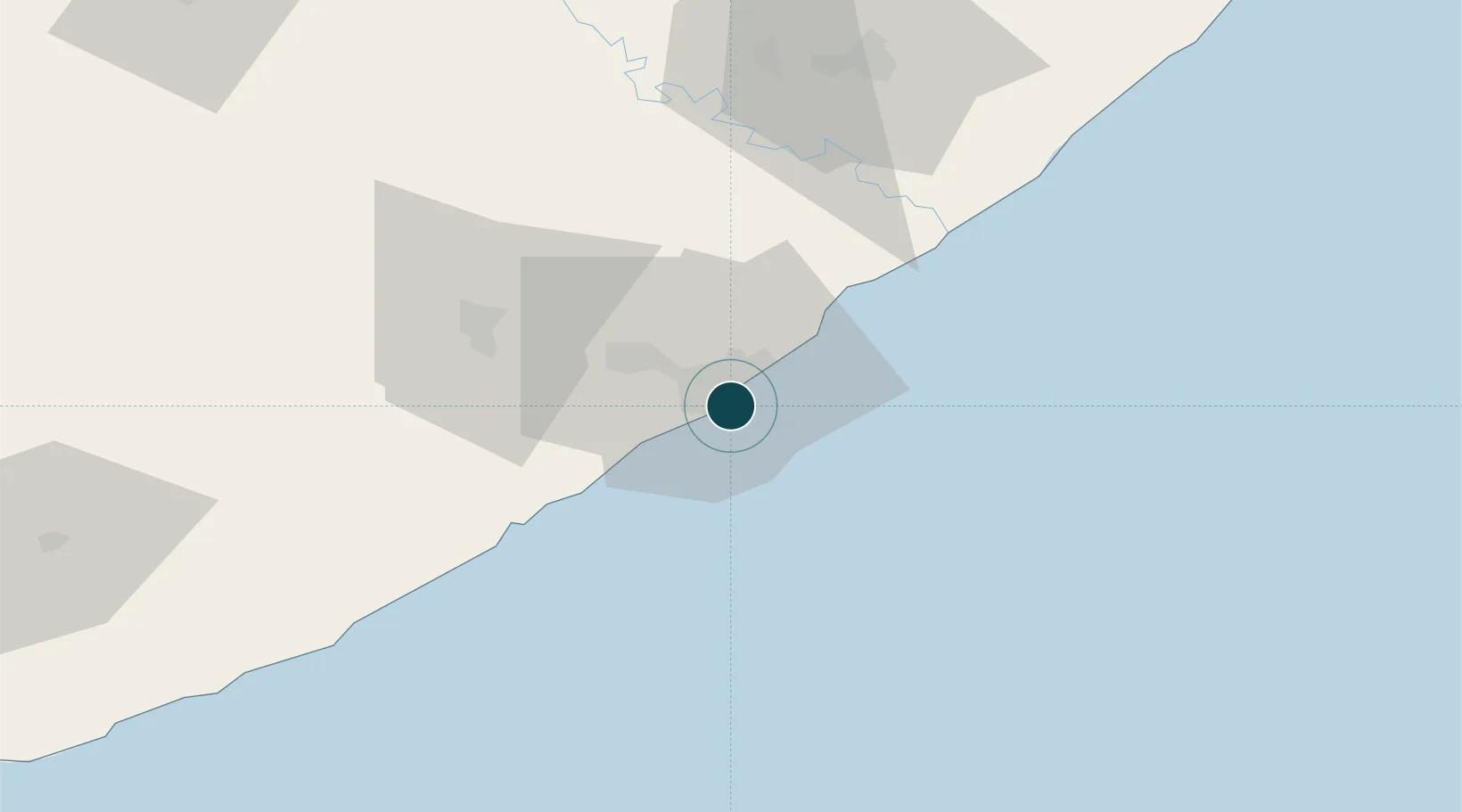
-33.0333°, 27.9167°
11.0 m
Channel depth
1
Container terminals
10.8
Port liner connectivity
Channel & Berth Profile
Pilotage, Tugs & Services
Pilotage compulsoryYES
Pilotage availableYES
Pilotage advisableYES
Tug assistanceYES
Salvage tugsYES
Shore powerYES
Potable waterYES
Diesel bunkersYES
MedicalYES
Garbage disposalYES
Facilities & Capabilities
Container—
Ro-Ro—
Liquid bulk—
Dry bulk—
Oil terminal—
Break bulk—
Dry dockNO
RepairsNO
BunkeringYES
Rail linkYES
Dangerous cargo—
ISPS security—
Harbour Specifications
Harbour size
Small
Harbour type
River (Natural)
Shelter
Excellent
Water body
Indian Ocean
Tidal range
2 m
Overhead limit
Yes
Pilotage
Yes
Liner Connectivity
10.8
PLSCI
Port Liner Shipping Connectivity Index for East London, as published by UNCTAD for the latest available quarter. Higher values indicate stronger scheduled liner-shipping integration.
Shown relative to the highest per-port PLSCI in the dataset (1,657.9).
Location
Container Terminals · 1
TPT EAST LONDON MULTI PURPOSE TERMINAL
TNMPT TRANSNET PORT TERMINALS
Nearby Logistics Neighbours
Ports
- 1Port Elizabeth234 km
- 2Durban462 km
- 3Mossel Bay549 km
- 4Richards Bay616 km
- 5Cape Town886 km
Cities
- 1Beacon Bay8 km
- 2Collondale8 km
- 3Cambridge8 km
- 4Chiselhurst9 km
- 5Amalinda10 km
Airports
- 1King Phalo Airport9 km
- 2Bisho Airport61 km
- 3Queenstown Airport157 km
- 4K. D. Matanzima Airport180 km
- 5Port St Johns Airport219 km
Trade Zones
DatabookThe Record of Consolidated Knowledge
South Africa beyond logistics?