Medium airport · South Africa

Queenstown AirportFAQT
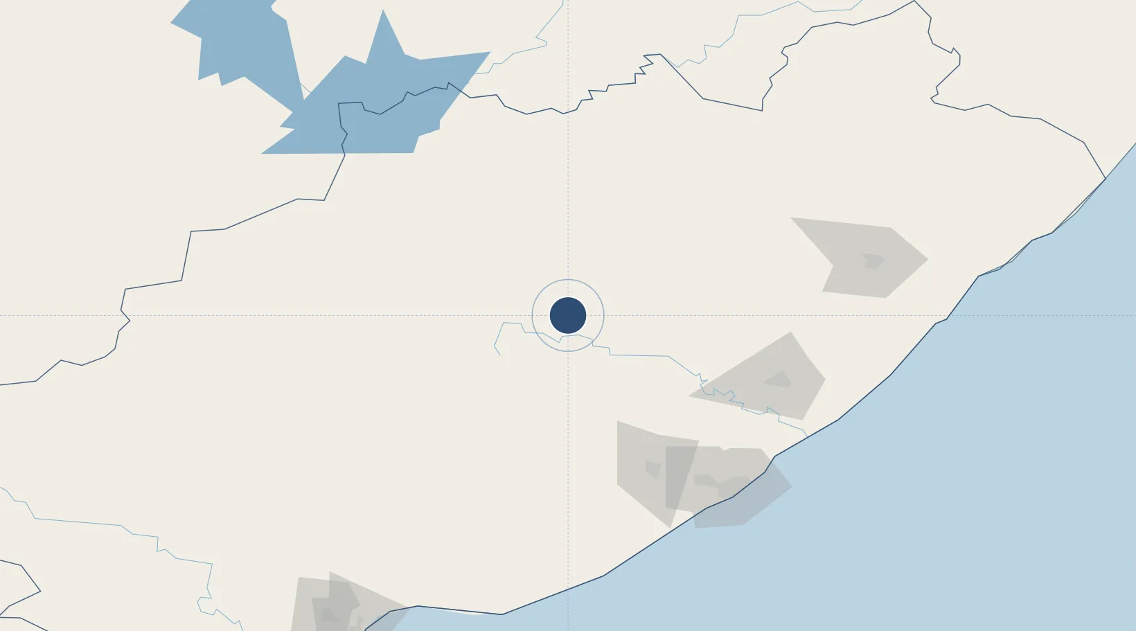
-31.9202°, 26.8822°
3,937 ft
Longest runway
1
Runways
3,637 ft
Elevation

Runway & Layout

Queenstown Airport runway & taxiway layout
Runway & taxiway layout — OpenStreetMap (ODbL) / OurAirports

Radio Frequencies

Unmanned
124.8 MHz
Queenstown Traffic
OurAirports

Runways · 1

RunwayDimensions SurfaceTrue headingLit
12/30 3,937 × 66ft Tar - lights 5 clicks on 124.8 095°
OurAirports

Airport Specifications

IATA code
UTW
OurAirports
ICAO code
FAQT
OurAirports
Airport class
Medium airport
OurAirports
Scheduled service
No
OurAirports
Runway surface
Tar - lights 5 clicks on 124.8
OurAirports
Served city
Queenstown
OurAirports

Location

Location of FAQT
Natural Earth 10m (public domain) · Eastern Cape · FAQT · -31.92, 26.88GoogleOSMYandex

Nearby Logistics Neighbours

Airports
  1. 1Bisho Airport115 km
  2. 2King Phalo Airport152 km
  3. 3K. D. Matanzima Airport174 km
  4. 4Port St Johns Airport252 km
  5. 5Chief Dawid Stuurman International Airport259 km
Nearest neighbours — logibook spatial index (haversine) over the source coordinates
Cities
  1. 1Eastern Cape60 km
  2. 2Adelaide103 km
  3. 3Amsterdam124 km
  4. 4Fort Jackson131 km
  5. 5Red Hill135 km
Nearest neighbours — logibook spatial index (haversine) over the source coordinates
Ports
  1. 1East London157 km
  2. 2Port Elizabeth254 km
  3. 3Durban460 km
  4. 4Mossel Bay508 km
  5. 5Richards Bay608 km
Nearest neighbours — logibook spatial index (haversine) over the source coordinates
Trade Zones
  1. 1Komani Industrial Park4 km
  2. 2Dimbaza Industrial Park106 km
  3. 3Somerset East Industrial Park152 km
  4. 4East London Industrial Development Zone155 km
  5. 5Wild Coast (Mthatha) Special Economic Zone177 km
Nearest neighbours — logibook spatial index (haversine) over the source coordinates
DatabookThe Record of Consolidated Knowledge
South Africa beyond logistics?
Browse databook

All Sources

AirportsOurAirports
Public domain
Portsthe NGA World Port Index
Public domain (US gov)
LocationsUN/LOCODE
UN/LOCODE — free
Trade Zonesthe World Bank SEZ database
CC BY 4.0
Trade ZonesOpen Zone Map
CC BY
InfrastructureOpenStreetMap
ODbL 1.0
← South Africa airports