Export Processing Zone · South Africa

Vulindlela Industrial Park Under Development
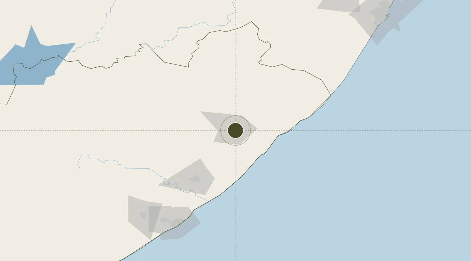
-31.6026°, 28.7769°
300 ha
Zone area
178.4 km
Nearest port
11.6 km
Nearest airport

Gateway access

Nearest neighbours — logibook spatial index (haversine) over the source coordinates

Zone profile

Zone type
Export Processing Zone
Open Zone Map
Region
Eastern Cape
Open Zone Map
Status
Under Development
Open Zone Map
Management
Public
Open Zone Map
Operator
Eastern Cape Development Corporation
Open Zone Map
Legal framework
Special Economic Zones Act No.16 of 2014
Open Zone Map

Location

Location of ozm-4154
Natural Earth 10m (public domain) · Eastern Cape · ozm-4154 · -31.60, 28.78GoogleOSMYandex

Nearby Logistics Neighbours

Ports
  1. 1East London178 km
  2. 2Durban292 km
  3. 3Port Elizabeth393 km
  4. 4Richards Bay445 km
  5. 5Mossel Bay682 km
Nearest neighbours — logibook spatial index (haversine) over the source coordinates
Airports
  1. 1K. D. Matanzima Airport12 km
  2. 2Port St Johns Airport71 km
  3. 3Margate Airport170 km
  4. 4Queenstown Airport183 km
  5. 5King Phalo Airport183 km
Nearest neighbours — logibook spatial index (haversine) over the source coordinates
Cities
  1. 1Port Saint John's72 km
  2. 2Ugie Ec73 km
  3. 3Kenmore77 km
  4. 4Red Hill96 km
  5. 5Kokstad132 km
Nearest neighbours — logibook spatial index (haversine) over the source coordinates
Trade Zones
  1. 1Wild Coast (Mthatha) Special Economic Zone10 km
  2. 2Komani Industrial Park179 km
  3. 3East London Industrial Development Zone183 km
  4. 4Dimbaza Industrial Park202 km
  5. 5Mafeteng Special Economic Zone248 km
Nearest neighbours — logibook spatial index (haversine) over the source coordinates
DatabookThe Record of Consolidated Knowledge
South Africa beyond logistics?
Browse databook

All Sources

Trade ZonesOpen Zone Map
CC BY
Portsthe NGA World Port Index
Public domain (US gov)
AirportsOurAirports
Public domain
LocationsUN/LOCODE
UN/LOCODE — free
← South Africa trade zones