Transport Functions
Multimodal
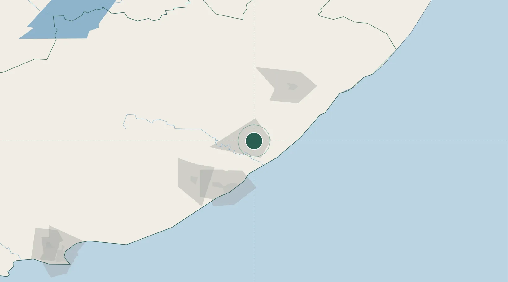
Hub Profile
Place type
Populated place
Region
Eastern Cape
Time zone
Africa/Johannesburg
Elevation
672 m
Location
Nearby Logistics Neighbours
Cities
- 1Beacon Bay76 km
- 2Cambridge78 km
- 3Chiselhurst78 km
- 4Amalinda79 km
- 5Fort Jackson80 km
Ports
- 1East London83 km
- 2Port Elizabeth301 km
- 3Durban385 km
- 4Richards Bay539 km
- 5Mossel Bay602 km
Airports
- 1King Phalo Airport87 km
- 2K. D. Matanzima Airport97 km
- 3Bisho Airport109 km
- 4Queenstown Airport135 km
- 5Port St Johns Airport146 km
Trade Zones
DatabookThe Record of Consolidated Knowledge
South Africa beyond logistics?