Medium airport · South Africa

Port St Johns AirportFAPJ
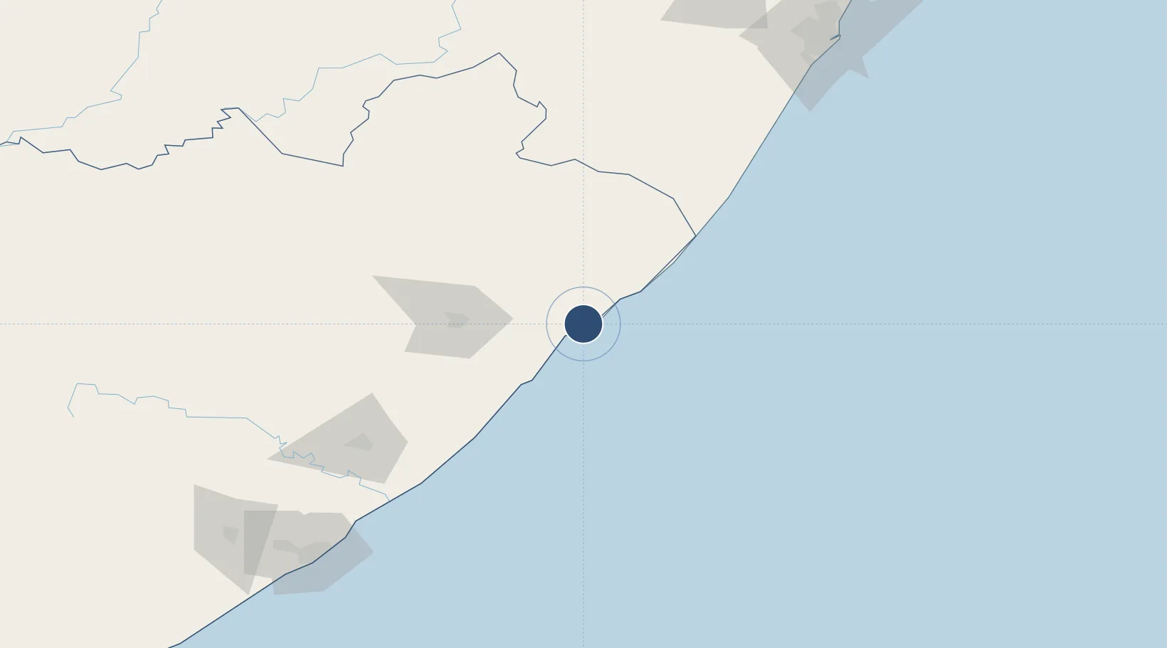
-31.6061°, 29.5218°
3,610 ft
Longest runway
1
Runways
1,227 ft
Elevation

Runway & Layout

Port St Johns Airport runway & taxiway layout
Runway & taxiway layout — OpenStreetMap (ODbL) / OurAirports

Navaids

PJ NDB Port St Johns 315 kHz
OurAirports

Runways · 1

RunwayDimensions SurfaceTrue headingLit
09/27 3,610 × 100ft Asphalt 064°
OurAirports

Airport Specifications

IATA code
JOH
OurAirports
ICAO code
FAPJ
OurAirports
Airport class
Medium airport
OurAirports
Scheduled service
No
OurAirports
Runway surface
Asphalt
OurAirports
Served city
Port St Johns
OurAirports

Location

Location of FAPJ
Natural Earth 10m (public domain) · Eastern Cape · FAPJ · -31.61, 29.52GoogleOSMYandex

Nearby Logistics Neighbours

Airports
  1. 1K. D. Matanzima Airport81 km
  2. 2Margate Airport114 km
  3. 3King Phalo Airport225 km
  4. 4Pietermaritzburg Airport233 km
  5. 5Virginia Airport252 km
Nearest neighbours — logibook spatial index (haversine) over the source coordinates
Cities
  1. 1Port Saint John's3 km
  2. 2Port Edward90 km
  3. 3Southbroom108 km
  4. 4Faerie Glen114 km
  5. 5Kokstad118 km
Nearest neighbours — logibook spatial index (haversine) over the source coordinates
Ports
  1. 1East London219 km
  2. 2Durban243 km
  3. 3Richards Bay397 km
  4. 4Port Elizabeth447 km
  5. 5Maputo693 km
Nearest neighbours — logibook spatial index (haversine) over the source coordinates
Trade Zones
  1. 1Vulindlela Industrial Park71 km
  2. 2Wild Coast (Mthatha) Special Economic Zone78 km
  3. 3East London Industrial Development Zone225 km
  4. 4Komani Industrial Park248 km
  5. 5Dimbaza Industrial Park258 km
Nearest neighbours — logibook spatial index (haversine) over the source coordinates
DatabookThe Record of Consolidated Knowledge
South Africa beyond logistics?
Browse databook

All Sources

AirportsOurAirports
Public domain
Portsthe NGA World Port Index
Public domain (US gov)
LocationsUN/LOCODE
UN/LOCODE — free
Trade Zonesthe World Bank SEZ database
CC BY 4.0
Trade ZonesOpen Zone Map
CC BY
InfrastructureOpenStreetMap
ODbL 1.0
← South Africa airports