Seaport · South Africa
Richards BayZARCB
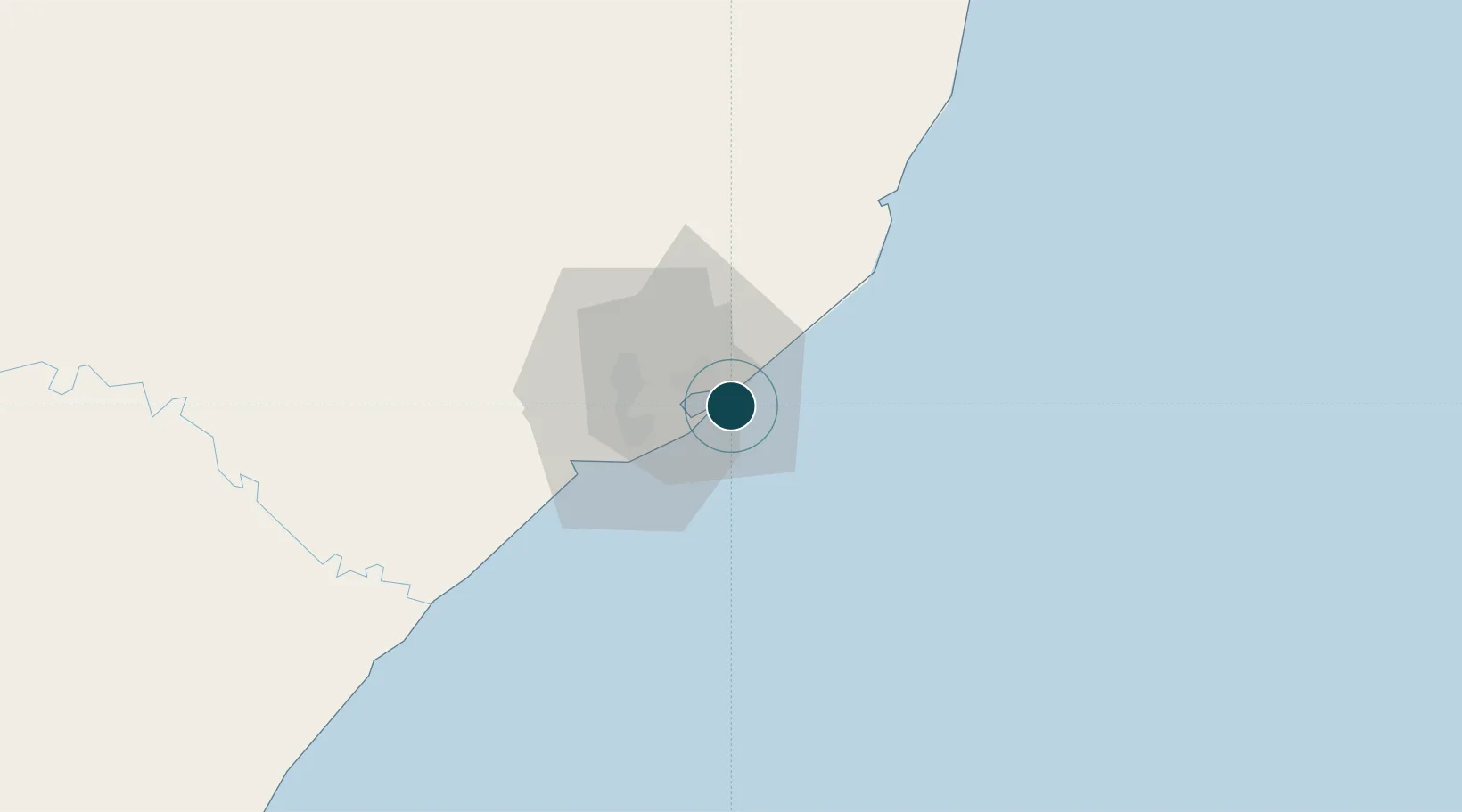
-28.8100°, 32.0983°
18.9 m
Channel depth
17.3
Port liner connectivity
Channel & Berth Profile
Pilotage, Tugs & Services
Pilotage compulsoryYES
Pilotage availableYES
Pilotage advisableYES
Tug assistanceYES
Potable waterYES
Diesel bunkersYES
MedicalYES
Garbage disposalYES
Facilities & Capabilities
ContainerYES
Ro-Ro—
Liquid bulkYES
Dry bulk—
Oil terminalYES
Break bulkYES
Dry dock—
RepairsNO
BunkeringYES
Rail link—
Dangerous cargo—
ISPS security—
Harbour Specifications
Harbour size
Medium
Harbour type
Coastal (Breakwater)
Shelter
Fair
Water body
Indian Ocean
Tidal range
2 m
Overhead limit
Yes
Pilotage
Yes
Liner Connectivity
17.3
PLSCI
Port Liner Shipping Connectivity Index for Richards Bay, as published by UNCTAD for the latest available quarter. Higher values indicate stronger scheduled liner-shipping integration.
Shown relative to the highest per-port PLSCI in the dataset (1,657.9).
Location
Nearby Logistics Neighbours
Ports
- 1Durban154 km
- 2Maputo320 km
- 3East London616 km
- 4Inhambane636 km
- 5Port Elizabeth838 km
Cities
- 1Alton9 km
- 2Felixton21 km
- 3Wandsbeck72 km
- 4Isithebe74 km
- 5Compensation117 km
Airports
- 1Richards Bay Airport8 km
- 2Prince Mangosuthu Buthelezi Airport86 km
- 3King Shaka International Airport131 km
- 4Mkuze Airport132 km
- 5Virginia Airport147 km
Trade Zones
- 1Richards Bay Special Economic Zone9 km
- 2Isithebe Industrial Park74 km
- 3Durban Aerotropolis129 km
- 4Dube TradeZone130 km
- 5Dube AgriZone132 km
DatabookThe Record of Consolidated Knowledge
South Africa beyond logistics?