Seaport · South Africa
DurbanZADUR
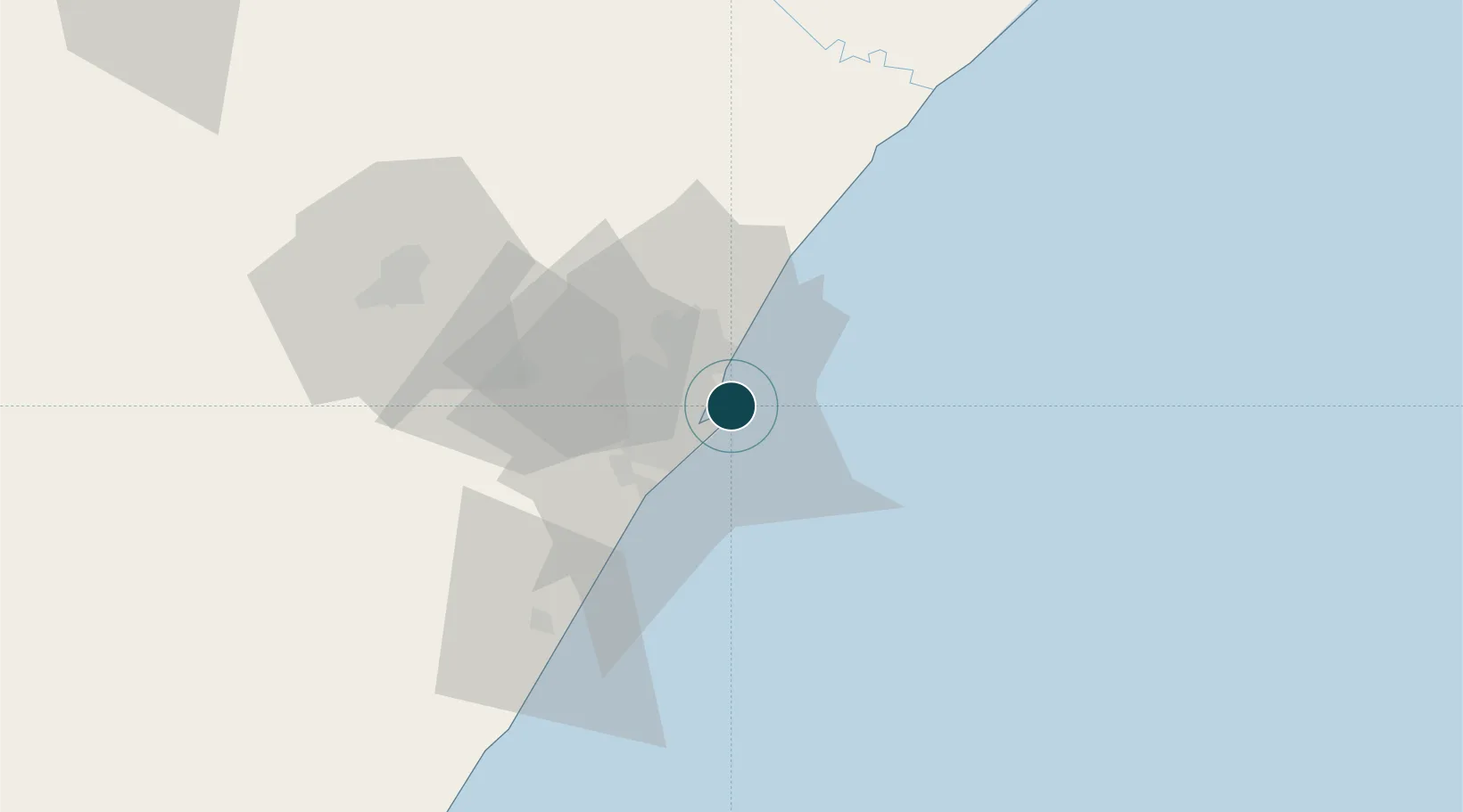
-29.8667°, 31.0667°
11.0 m
Channel depth
5
Container terminals
209.7
Port liner connectivity
Channel & Berth Profile
Pilotage, Tugs & Services
Pilotage compulsoryYES
Pilotage availableYES
Pilotage advisableYES
Tug assistanceYES
Salvage tugsYES
Shore powerYES
Potable waterYES
Diesel bunkersYES
MedicalYES
Garbage disposalYES
Facilities & Capabilities
ContainerYES
Ro-RoYES
Liquid bulkYES
Dry bulkYES
Oil terminal—
Break bulkYES
Dry dockNO
RepairsNO
BunkeringYES
Rail linkYES
Dangerous cargo—
ISPS security—
Harbour Specifications
Harbour size
Large
Harbour type
Coastal (Breakwater)
Shelter
Excellent
Water body
Indian Ocean
Tidal range
2 m
Overhead limit
Yes
Pilotage
Yes
Liner Connectivity
209.7
PLSCI
Port Liner Shipping Connectivity Index for Durban, as published by UNCTAD for the latest available quarter. Higher values indicate stronger scheduled liner-shipping integration.
Shown relative to the highest per-port PLSCI in the dataset (1,657.9).
Location
Container Terminals · 5
GRINDROD MAYDON WHARF TERMINALS
GMWT
DURBAN POINT MULTI PURPOSE TERMINAL
MPTP TRANSNET PORT TERMINALS
DURBAN POINT RORO TERMINAL
TNDRT TRANSNET PORT TERMINALS
TRANSNET PORT TERMINALS DURBAN PIER 1
TNP1 TRANSNET PORT TERMINALS
TRANSNET PORT TERMINALS DURBAN PIER 2
TNP2 TRANSNET PORT TERMINALS
Nearby Logistics Neighbours
Ports
- 1Richards Bay154 km
- 2Maputo458 km
- 3East London462 km
- 4Port Elizabeth684 km
- 5Inhambane789 km
Cities
- 1Island View4 km
- 2Bayhead6 km
- 3Congella6 km
- 4Stamford Hill7 km
- 5Glenwood8 km
Airports
- 1Virginia Airport11 km
- 2King Shaka International Airport29 km
- 3Pietermaritzburg Airport69 km
- 4Margate Airport130 km
- 5Richards Bay Airport160 km
Trade Zones
- 1Dube TradePort27 km
- 2Dube AgriZone29 km
- 3Dube TradeZone29 km
- 4Durban Aerotropolis33 km
- 5Isithebe Industrial Park92 km
DatabookThe Record of Consolidated Knowledge
South Africa beyond logistics?