Special Economic Zone · South Africa

East London Industrial Development Zone Active
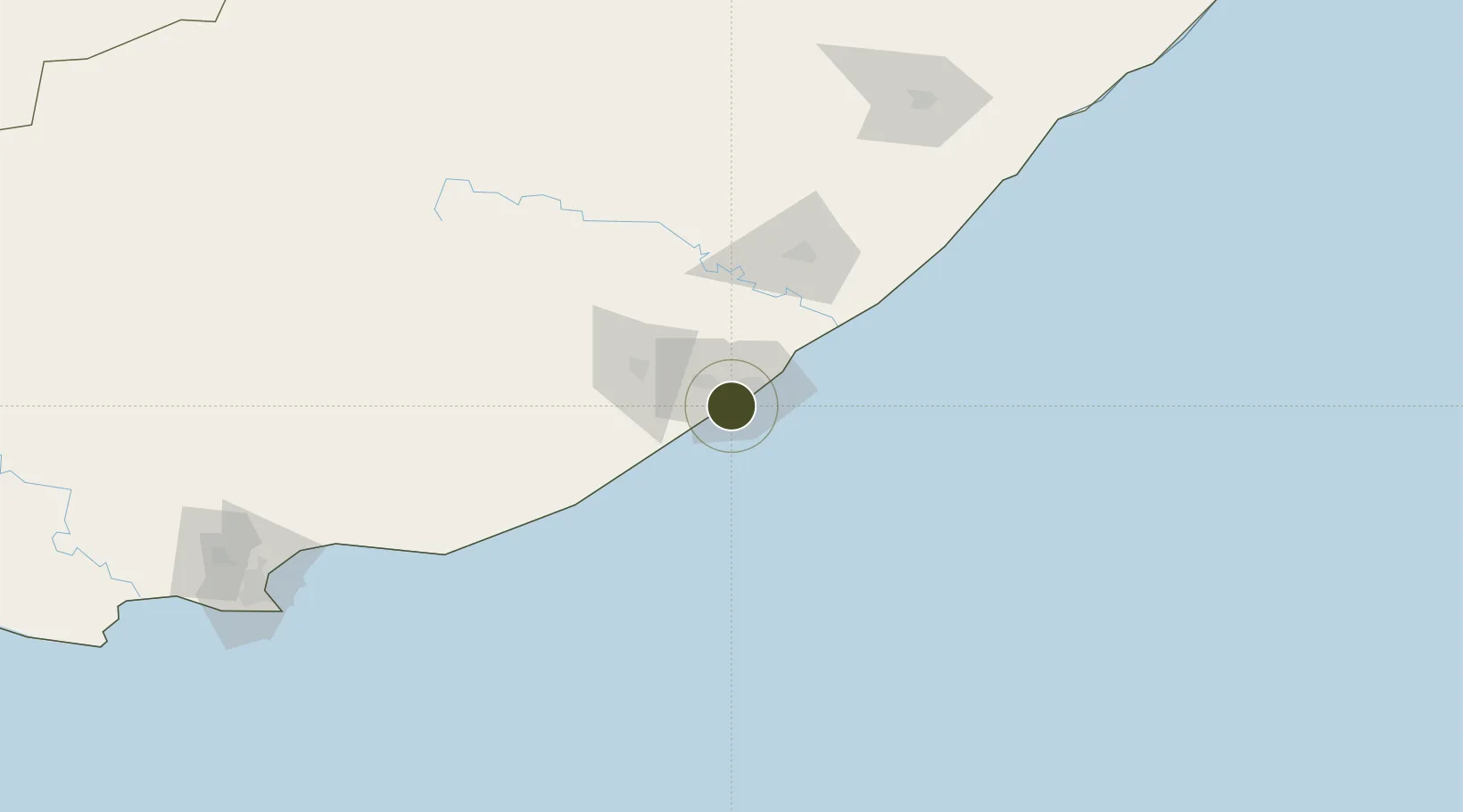
-33.0516°, 27.8488°
300 ha
Zone area
6.6 km
Nearest port
2.8 km
Nearest airport

Gateway access

Nearest neighbours — logibook spatial index (haversine) over the source coordinates

Zone profile

Zone type
Special Economic Zone
the World Bank SEZ database
Region
Eastern Cape
the World Bank SEZ database
Status
Active
the World Bank SEZ database
Established
2003
the World Bank SEZ database
Management
State-owned enterprise
the World Bank SEZ database
Operator
East London Bay Industrial Development Ltd
the World Bank SEZ database
Regulatory authority
Special Economic Zones Advisory Board
the World Bank SEZ database
Legal framework
Special Economic Zones Act, No 16
the World Bank SEZ database

Location

Location of ZAF2
Natural Earth 10m (public domain) · Eastern Cape · ZAF2 · -33.05, 27.85GoogleOSMYandex

Fiscal & incentives

Corporate tax
28%
the World Bank SEZ database
Tax relief
Reduced fixed-rate at 15%
the World Bank SEZ database
Relief duration
Perpetual
the World Bank SEZ database
VAT
No exemption
the World Bank SEZ database
Import duty (inputs)
100% exempt
the World Bank SEZ database
Import duty (capex)
100% exempt
the World Bank SEZ database
Profit repatriation
No exemption
the World Bank SEZ database
Capital gains
No exemption
the World Bank SEZ database
Withholding tax
No exemption
the World Bank SEZ database
Min. investment
None
the World Bank SEZ database
Min. export
0%
the World Bank SEZ database
Employment incentive
Employment tax incentive
the World Bank SEZ database
Developer incentive
No established framework
the World Bank SEZ database

Nearby Logistics Neighbours

Ports
  1. 1East London7 km
  2. 2Port Elizabeth228 km
  3. 3Durban468 km
  4. 4Mossel Bay543 km
  5. 5Richards Bay622 km
Nearest neighbours — logibook spatial index (haversine) over the source coordinates
Airports
  1. 1King Phalo Airport3 km
  2. 2Bisho Airport56 km
  3. 3Queenstown Airport155 km
  4. 4K. D. Matanzima Airport184 km
  5. 5Port St Johns Airport225 km
Nearest neighbours — logibook spatial index (haversine) over the source coordinates
Cities
  1. 1East London2 km
  2. 2Collondale4 km
  3. 3Amalinda9 km
  4. 4Chiselhurst10 km
  5. 5Dawn10 km
Nearest neighbours — logibook spatial index (haversine) over the source coordinates
Trade Zones
  1. 1Dimbaza Industrial Park66 km
  2. 2Komani Industrial Park154 km
  3. 3Vulindlela Industrial Park183 km
  4. 4Wild Coast (Mthatha) Special Economic Zone186 km
  5. 5Somerset East Industrial Park213 km
Nearest neighbours — logibook spatial index (haversine) over the source coordinates
DatabookThe Record of Consolidated Knowledge
South Africa beyond logistics?
Browse databook

All Sources

Trade Zonesthe World Bank SEZ database
CC BY 4.0
Portsthe NGA World Port Index
Public domain (US gov)
AirportsOurAirports
Public domain
LocationsUN/LOCODE
UN/LOCODE — free
← South Africa trade zones