Channel & Berth Profile
Pilotage, Tugs & Services
Pilotage compulsoryYES
Pilotage availableYES
Pilotage advisableYES
Tug assistanceYES
Shore powerYES
Potable waterYES
Diesel bunkersYES
MedicalYES
Garbage disposalYES
Facilities & Capabilities
Container—
Ro-Ro—
Liquid bulk—
Dry bulk—
Oil terminal—
Break bulk—
Dry dockNO
RepairsNO
BunkeringYES
Rail linkYES
Dangerous cargo—
ISPS security—
Harbour Specifications
Harbour size
Medium
Harbour type
Coastal (Breakwater)
Shelter
Good
Water body
Indian Ocean
Tidal range
2 m
Overhead limit
Yes
Pilotage
Yes
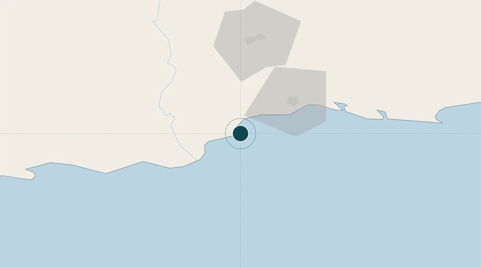
Location
Nearby Logistics Neighbours
Ports
- 1Port Elizabeth323 km
- 2Simonstown341 km
- 3Cape Town345 km
- 4Saldanha Bay407 km
- 5East London549 km
Cities
- 1Greenhaven17 km
- 2De Rust85 km
- 3Ladismith112 km
- 4Ongelegen126 km
- 5Louterwater146 km
Airports
- 1George Airport29 km
- 2Oudtshoorn Airport63 km
- 3Plettenberg Bay Airport109 km
- 4Robertson Airport211 km
- 5Chief Dawid Stuurman International Airport320 km
Trade Zones
DatabookThe Record of Consolidated Knowledge
South Africa beyond logistics?