Medium airport · South Africa
Bisho AirportFABE
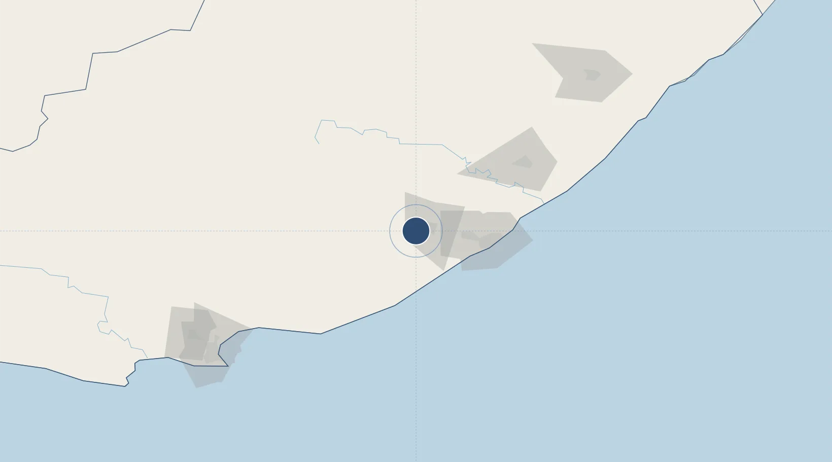
-32.8971°, 27.2791°
8,202 ft
Longest runway
1
Runways
1,950 ft
Elevation
Runway & Layout

Radio Frequencies
APP
120.1 MHz
EAST LONDON APP
RDO
120.6 MHz
Runways · 1
| Runway | Dimensions | Surface | True heading | Lit |
|---|---|---|---|---|
| 08/26 | 8,202 × 197ft | Asphalt | 057° | ✓ |
Airport Specifications
IATA code
BIY
ICAO code
FABE
Airport class
Medium airport
Scheduled service
No
Runway surface
Asphalt
Served city
Bisho
Location
Nearby Logistics Neighbours
Airports
- 1King Phalo Airport53 km
- 2Queenstown Airport115 km
- 3Chief Dawid Stuurman International Airport196 km
- 4K. D. Matanzima Airport199 km
- 5Port St Johns Airport255 km
Cities
- 1Fort Jackson38 km
- 2Madantsane46 km
- 3Dawn51 km
- 4Collondale53 km
- 5Amalinda54 km
Ports
- 1East London61 km
- 2Port Elizabeth192 km
- 3Durban493 km
- 4Mossel Bay496 km
- 5Richards Bay647 km
Trade Zones
DatabookThe Record of Consolidated Knowledge
South Africa beyond logistics?