UN/LOCODE hub · South Africa
ZAZAB
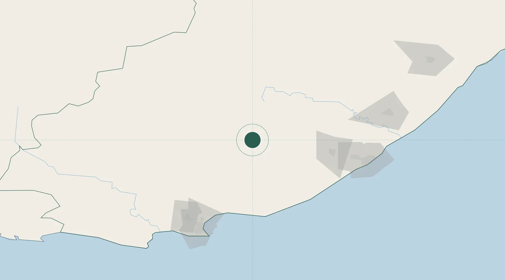
Adelaide
-32.7000°, 26.3000°
14,606
Population
1
Transport functions
Transport Functions
Multimodal
Hub Profile
Place type
District seat
Region
Eastern Cape
Population
14,606
Time zone
Africa/Johannesburg
Elevation
587 m
Location
Nearby Logistics Neighbours
Cities
- 1Eastern Cape48 km
- 2Somerset East67 km
- 3Alexandria106 km
- 4Kenton-on-Sea112 km
- 5Fort Jackson131 km
Ports
- 1Port Elizabeth152 km
- 2East London156 km
- 3Mossel Bay419 km
- 4Durban552 km
- 5Richards Bay703 km
Airports
- 1Bisho Airport94 km
- 2Queenstown Airport103 km
- 3King Phalo Airport147 km
- 4Chief Dawid Stuurman International Airport157 km
- 5K. D. Matanzima Airport258 km
Trade Zones
DatabookThe Record of Consolidated Knowledge
South Africa beyond logistics?