Large airport · South Africa

King Phalo AirportFAEL
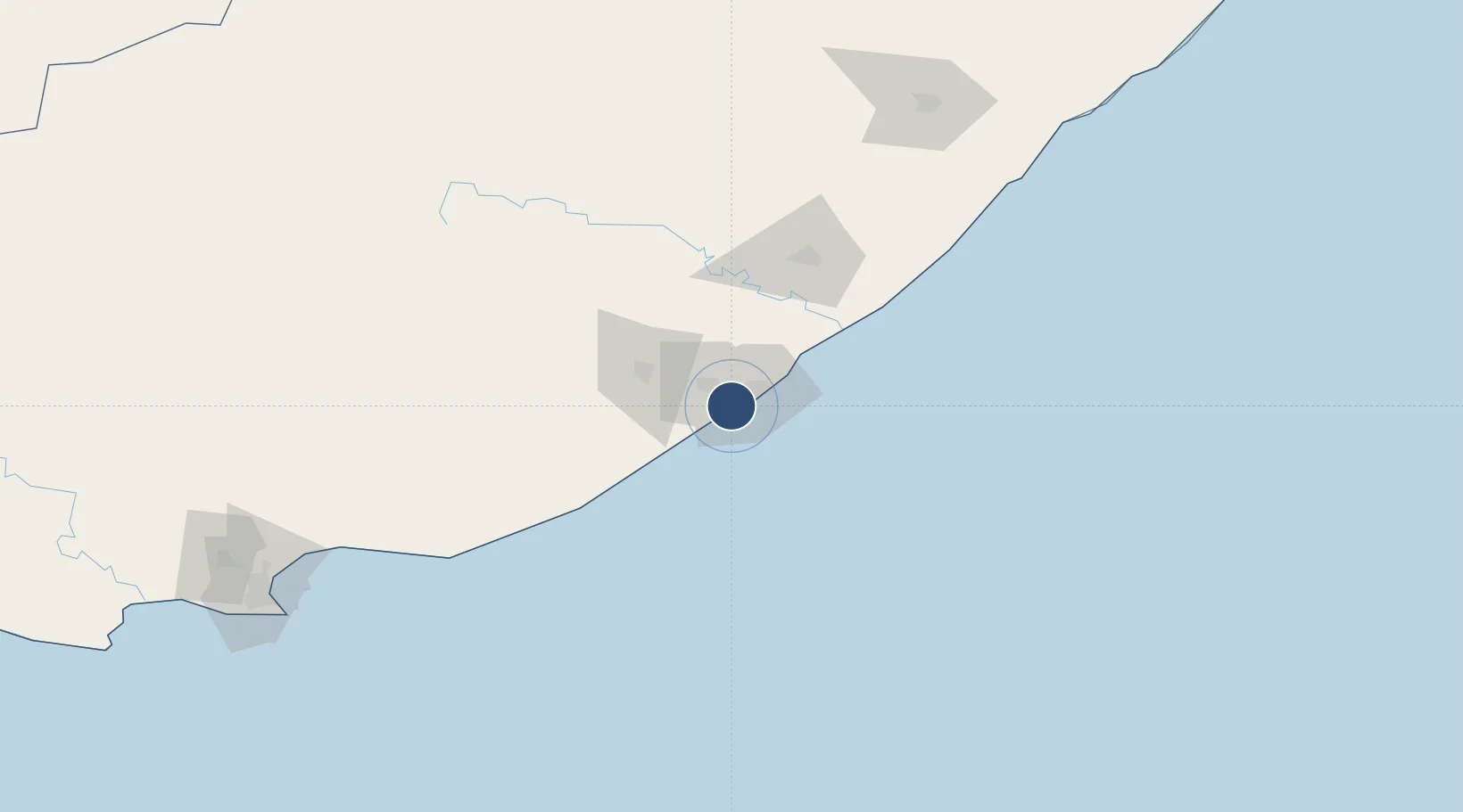
-33.0356°, 27.8259°
6,362 ft
Longest runway
2
Runways
435 ft
Elevation

Runway & Layout

King Phalo Airport runway & taxiway layout
Runway & taxiway layout — OpenStreetMap (ODbL) / OurAirports

Radio Frequencies

ATIS
126.45 MHz
TWR
118.3 MHz
APP
120.1 MHz
GTE
122.65 MHz
APRON
OurAirports

Navaids

ELV VORTAC East London 114.50 MHz
OurAirports

Runways · 2

RunwayDimensions SurfaceTrue headingLit
11/29 6,362 × 150ft Asphalt 082°
06/24 5,200 × 150ft Asphalt 037°
OurAirports

Airport Specifications

IATA code
ELS
OurAirports
ICAO code
FAEL
OurAirports
Airport class
Large airport
OurAirports
Scheduled service
Yes
OurAirports
Runway surface
Asphalt
OurAirports
Served city
East London
OurAirports

Location

Location of FAEL
Natural Earth 10m (public domain) · Eastern Cape · FAEL · -33.04, 27.83GoogleOSMYandex

Nearby Logistics Neighbours

Airports
  1. 1Bisho Airport53 km
  2. 2Queenstown Airport152 km
  3. 3K. D. Matanzima Airport184 km
  4. 4Port St Johns Airport225 km
  5. 5Chief Dawid Stuurman International Airport231 km
Nearest neighbours — logibook spatial index (haversine) over the source coordinates
Cities
  1. 1Collondale2 km
  2. 2East London4 km
  3. 3Dawn8 km
  4. 4Amalinda8 km
  5. 5Chiselhurst9 km
Nearest neighbours — logibook spatial index (haversine) over the source coordinates
Ports
  1. 1East London9 km
  2. 2Port Elizabeth227 km
  3. 3Durban468 km
  4. 4Mossel Bay541 km
  5. 5Richards Bay622 km
Nearest neighbours — logibook spatial index (haversine) over the source coordinates
Trade Zones
  1. 1East London Industrial Development Zone3 km
  2. 2Dimbaza Industrial Park63 km
  3. 3Komani Industrial Park151 km
  4. 4Vulindlela Industrial Park183 km
  5. 5Wild Coast (Mthatha) Special Economic Zone185 km
Nearest neighbours — logibook spatial index (haversine) over the source coordinates
DatabookThe Record of Consolidated Knowledge
South Africa beyond logistics?
Browse databook

All Sources

AirportsOurAirports
Public domain
Portsthe NGA World Port Index
Public domain (US gov)
LocationsUN/LOCODE
UN/LOCODE — free
Trade Zonesthe World Bank SEZ database
CC BY 4.0
Trade ZonesOpen Zone Map
CC BY
InfrastructureOpenStreetMap
ODbL 1.0
← South Africa airports