Medium airport · South Africa

K. D. Matanzima AirportFAUT
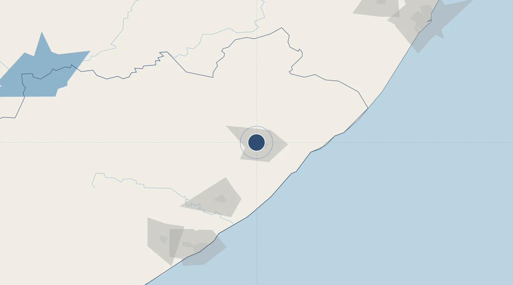
-31.5464°, 28.6734°
8,530 ft
Longest runway
2
Runways
2,400 ft
Elevation

Runway & Layout

K. D. Matanzima Airport runway & taxiway layout
Runway & taxiway layout — OpenStreetMap (ODbL) / OurAirports

Radio Frequencies

TWR
121.3 MHz
MATANZIMA TWR
OurAirports

Navaids

UA NDB Mthatha 228 kHz
UT NDB Mthatha 335 kHz
OurAirports

Runways · 2

RunwayDimensions SurfaceTrue headingLit
14/32 8,530 × 148ft Asphalt 113°
09/27 4,921 × 98ft Graded earth 069°
OurAirports

Airport Specifications

IATA code
UTT
OurAirports
ICAO code
FAUT
OurAirports
Airport class
Medium airport
OurAirports
Scheduled service
Yes
OurAirports
Runway surface
Asphalt
OurAirports
Served city
Mthatha
OurAirports

Location

Location of FAUT
Natural Earth 10m (public domain) · Eastern Cape · FAUT · -31.55, 28.67GoogleOSMYandex

Nearby Logistics Neighbours

Airports
  1. 1Port St Johns Airport81 km
  2. 2Queenstown Airport174 km
  3. 3Margate Airport176 km
  4. 4King Phalo Airport184 km
  5. 5Bisho Airport199 km
Nearest neighbours — logibook spatial index (haversine) over the source coordinates
Cities
  1. 1Ugie Ec62 km
  2. 2Kenmore65 km
  3. 3Port Saint John's82 km
  4. 4Red Hill97 km
  5. 5Kokstad132 km
Nearest neighbours — logibook spatial index (haversine) over the source coordinates
Ports
  1. 1East London180 km
  2. 2Durban295 km
  3. 3Port Elizabeth390 km
  4. 4Richards Bay448 km
  5. 5Mossel Bay676 km
Nearest neighbours — logibook spatial index (haversine) over the source coordinates
Trade Zones
  1. 1Wild Coast (Mthatha) Special Economic Zone2 km
  2. 2Vulindlela Industrial Park12 km
  3. 3Komani Industrial Park171 km
  4. 4East London Industrial Development Zone184 km
  5. 5Dimbaza Industrial Park200 km
Nearest neighbours — logibook spatial index (haversine) over the source coordinates
DatabookThe Record of Consolidated Knowledge
South Africa beyond logistics?
Browse databook

All Sources

AirportsOurAirports
Public domain
Portsthe NGA World Port Index
Public domain (US gov)
LocationsUN/LOCODE
UN/LOCODE — free
Trade Zonesthe World Bank SEZ database
CC BY 4.0
Trade ZonesOpen Zone Map
CC BY
InfrastructureOpenStreetMap
ODbL 1.0
← South Africa airports