UN/LOCODE hub · South Africa
ZACTP

Eastern Cape

-32.2833°, 26.4167°
2
Transport functions

Transport Functions

Port
Multimodal
UN/LOCODE

Hub Profile

Region
EC
GeoNames

Location

Location of ZACTP
Natural Earth 10m (public domain) · EC · ZACTP · -32.28, 26.42GoogleOSMYandex

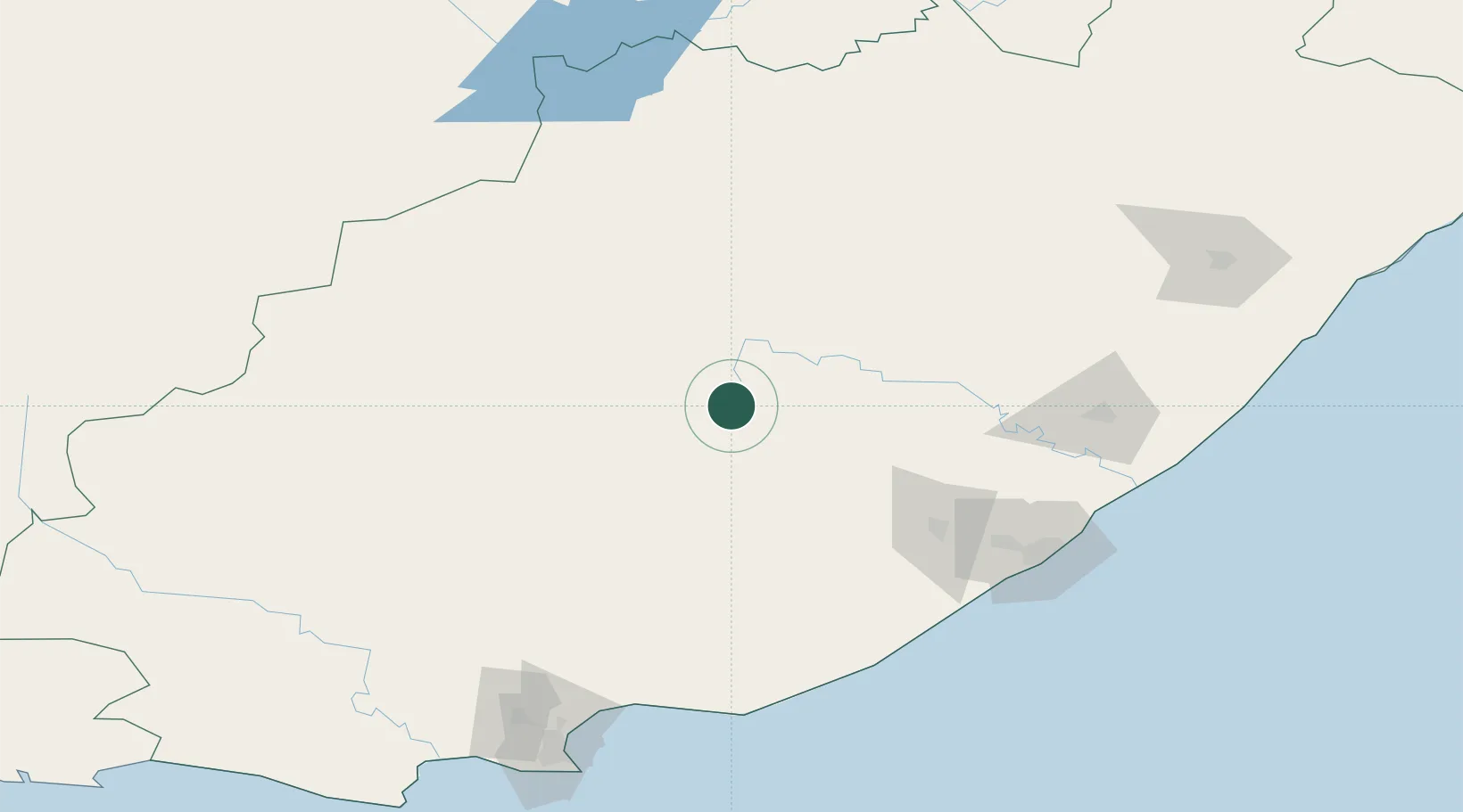
Nearby Logistics Neighbours

Cities
  1. 1Adelaide48 km
  2. 2Somerset East92 km
  3. 3Amsterdam106 km
  4. 4Fort Jackson136 km
  5. 5Madantsane147 km
Nearest neighbours — logibook spatial index (haversine) over the source coordinates
Ports
  1. 1East London163 km
  2. 2Port Elizabeth199 km
  3. 3Mossel Bay449 km
  4. 4Durban518 km
  5. 5Richards Bay667 km
Nearest neighbours — logibook spatial index (haversine) over the source coordinates
Airports
  1. 1Queenstown Airport60 km
  2. 2Bisho Airport106 km
  3. 3King Phalo Airport156 km
  4. 4Chief Dawid Stuurman International Airport204 km
  5. 5K. D. Matanzima Airport228 km
Nearest neighbours — logibook spatial index (haversine) over the source coordinates
Trade Zones
  1. 1Komani Industrial Park63 km
  2. 2Somerset East Industrial Park93 km
  3. 3Dimbaza Industrial Park95 km
  4. 4East London Industrial Development Zone159 km
  5. 5Coega Industrial Development Zone179 km
Nearest neighbours — logibook spatial index (haversine) over the source coordinates
DatabookThe Record of Consolidated Knowledge
South Africa beyond logistics?
Browse databook

All Sources

LocationsUN/LOCODE
UN/LOCODE — free
Portsthe NGA World Port Index
Public domain (US gov)
AirportsOurAirports
Public domain
Trade Zonesthe World Bank SEZ database
CC BY 4.0
Trade ZonesOpen Zone Map
CC BY
← South Africa locations