Seaport · South Africa
Port ElizabethZAPLZ
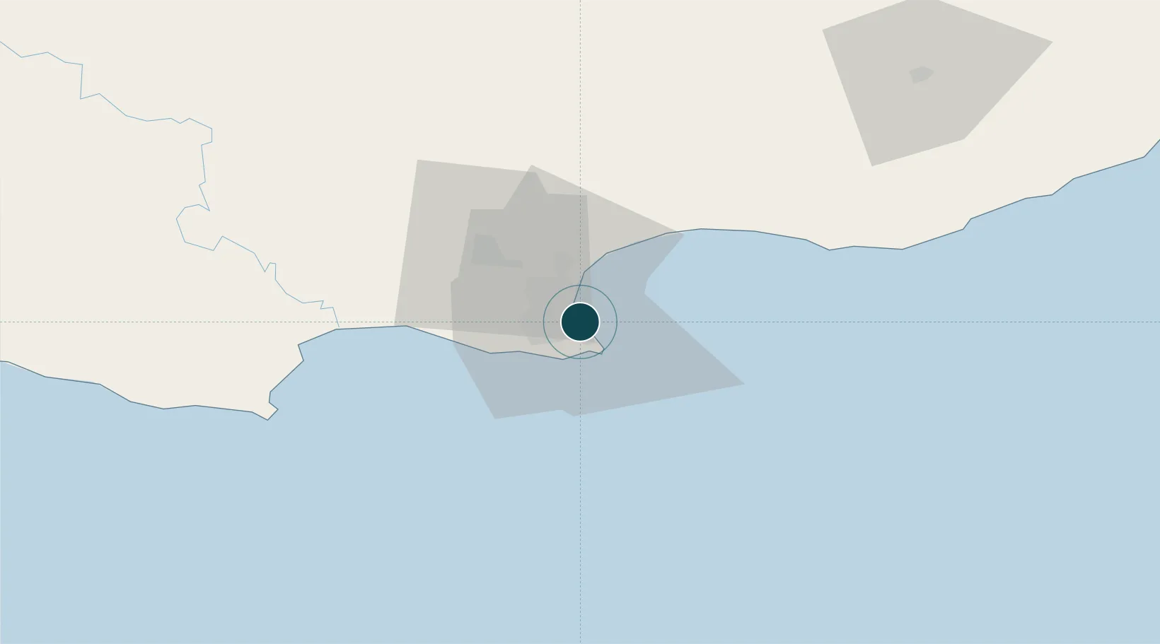
-33.9519°, 25.6425°
11.0 m
Channel depth
1
Container terminals
100.7
Port liner connectivity
Channel & Berth Profile
Pilotage, Tugs & Services
Pilotage compulsoryYES
Pilotage availableYES
Pilotage advisableYES
Tug assistanceYES
Salvage tugsYES
Shore powerYES
Potable waterYES
Diesel bunkersYES
MedicalYES
Garbage disposalYES
Facilities & Capabilities
ContainerYES
Ro-RoYES
Liquid bulkYES
Dry bulkYES
Oil terminal—
Break bulkYES
Dry dock—
RepairsNO
BunkeringYES
Rail linkYES
Dangerous cargo—
ISPS security—
Harbour Specifications
Harbour size
Medium
Harbour type
Coastal (Breakwater)
Shelter
Fair
Water body
Indian Ocean
Tidal range
2 m
Overhead limit
Yes
Pilotage
Yes
Liner Connectivity
100.7
PLSCI
Port Liner Shipping Connectivity Index for Port Elizabeth, as published by UNCTAD for the latest available quarter. Higher values indicate stronger scheduled liner-shipping integration.
Shown relative to the highest per-port PLSCI in the dataset (1,657.9).
Location
Container Terminals · 1
TRANSNET PORT TERMINALS PORT ELIZABETH
TNPE TRANSNET PORT TERMINALS
Nearby Logistics Neighbours
Ports
- 1East London234 km
- 2Mossel Bay323 km
- 3Simonstown664 km
- 4Cape Town667 km
- 5Durban684 km
Cities
- 1Summerstrand4 km
- 2North End4 km
- 3Newton Park7 km
- 4Korsten8 km
- 5New Brighton West9 km
Airports
- 1Chief Dawid Stuurman International Airport5 km
- 2Bisho Airport192 km
- 3Plettenberg Bay Airport214 km
- 4King Phalo Airport227 km
- 5Queenstown Airport254 km
Trade Zones
DatabookThe Record of Consolidated Knowledge
South Africa beyond logistics?